Day 18: Bird & Mammal Survey, Project Development, and the County Fair!

By: Caroline

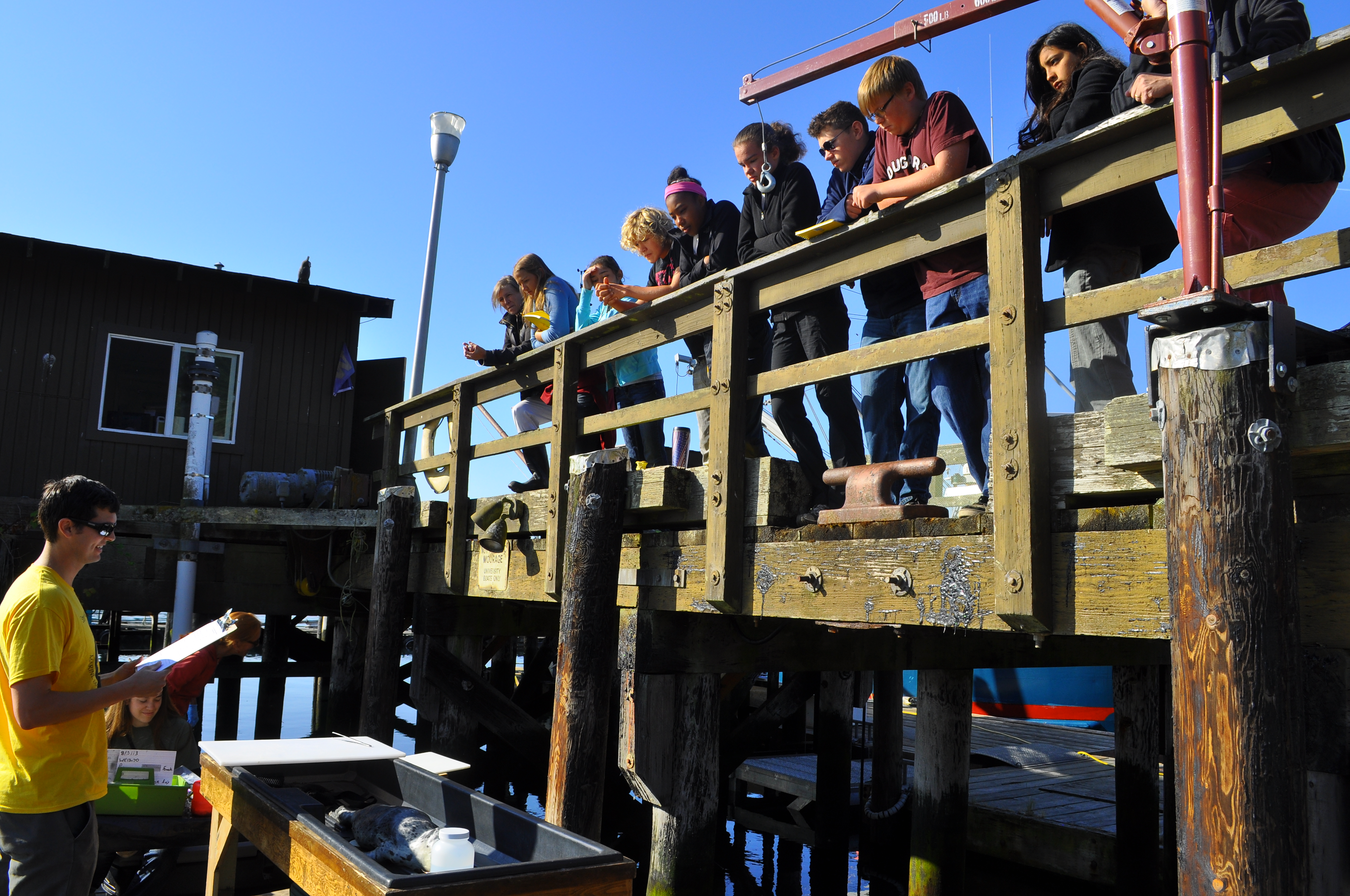
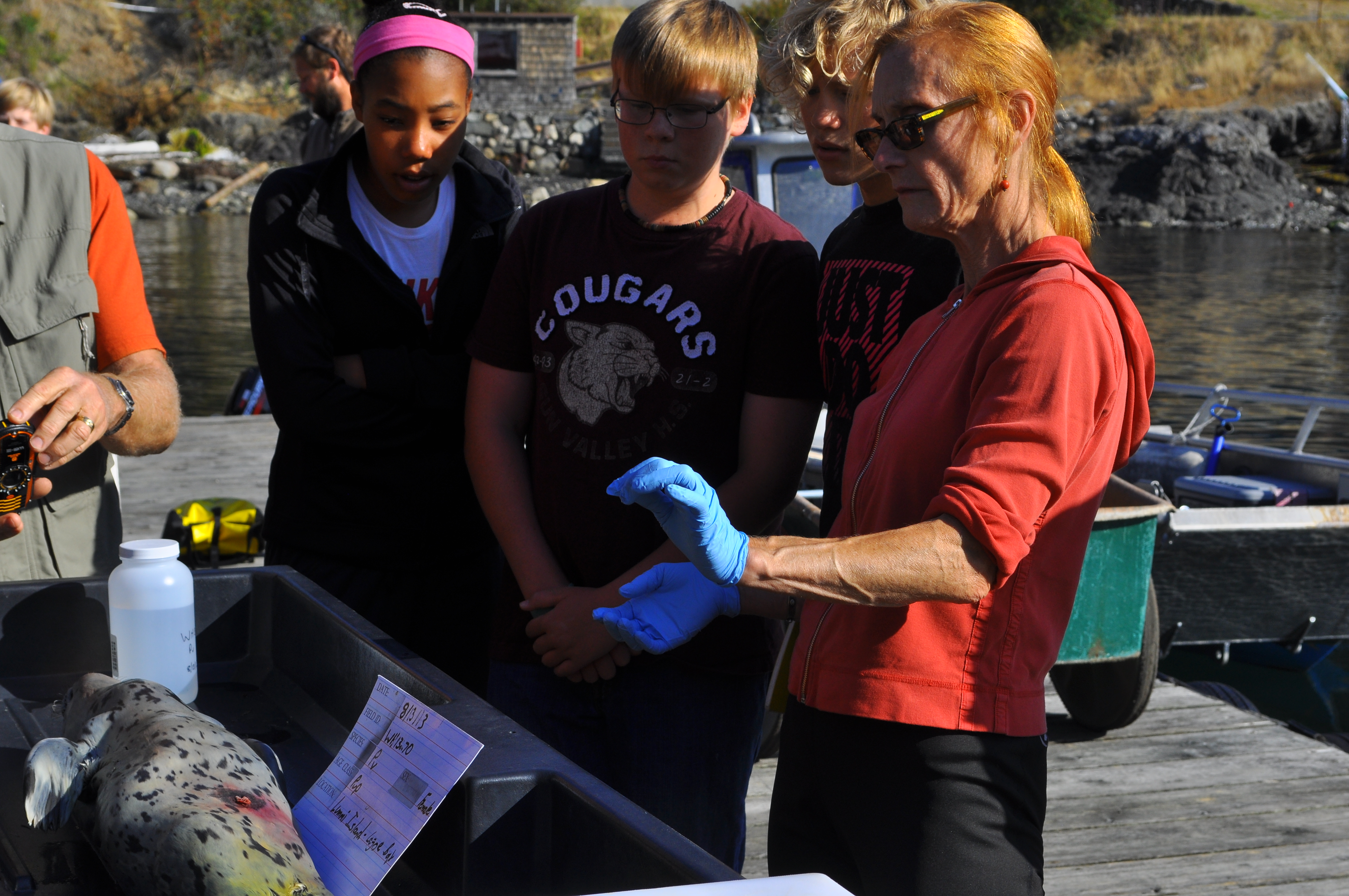
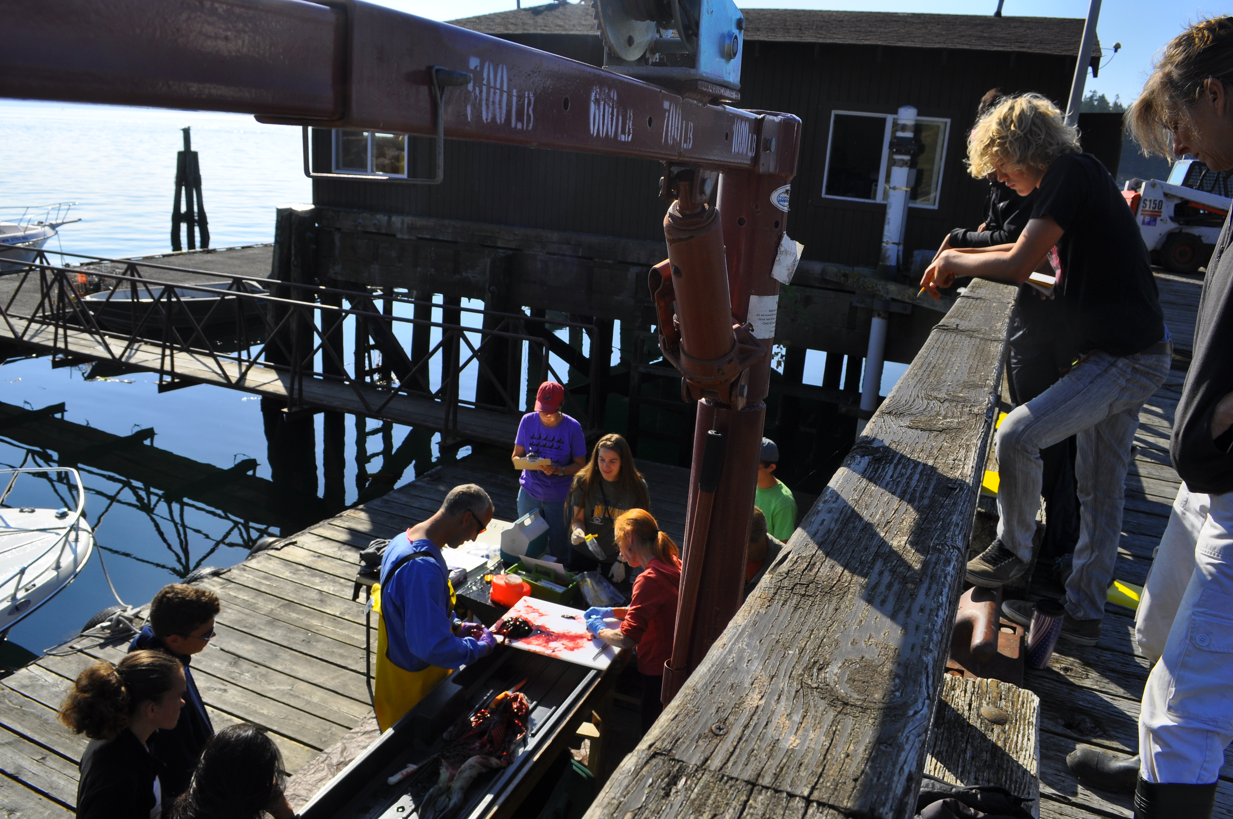
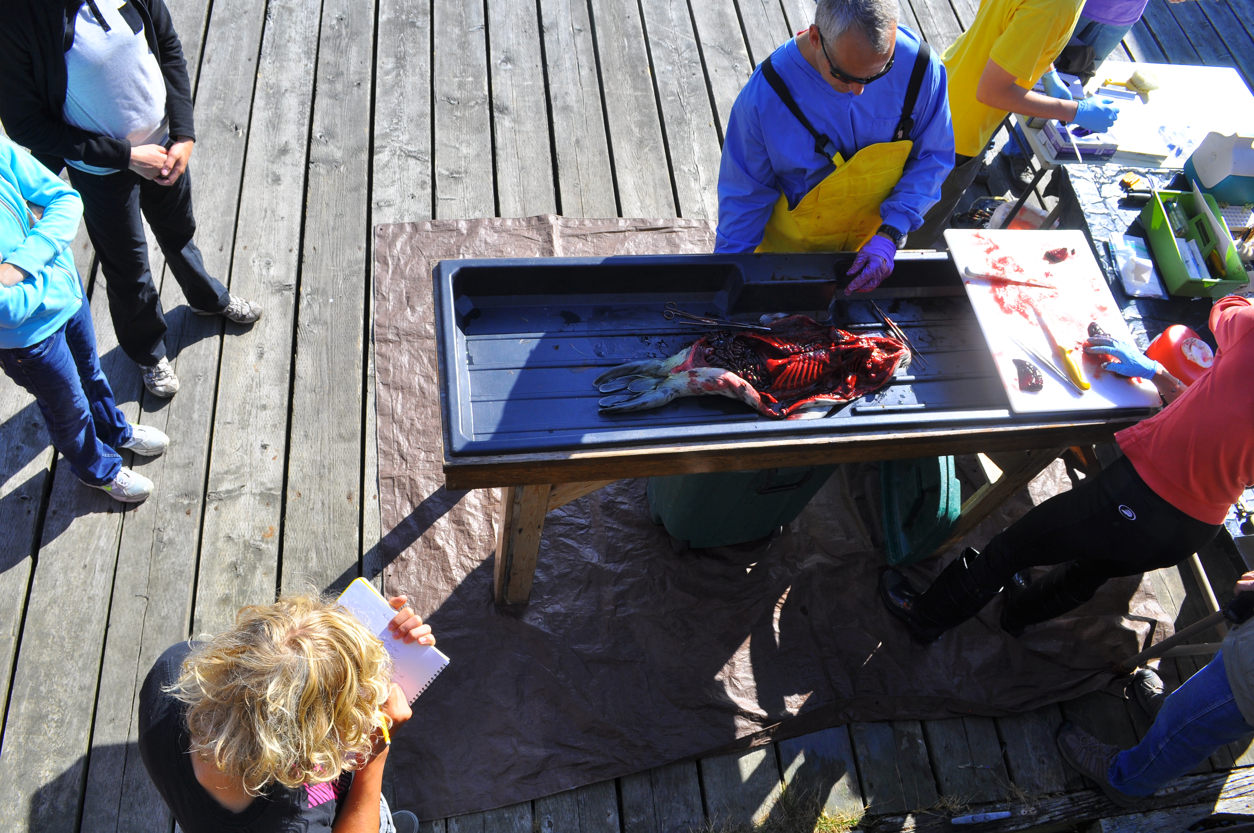
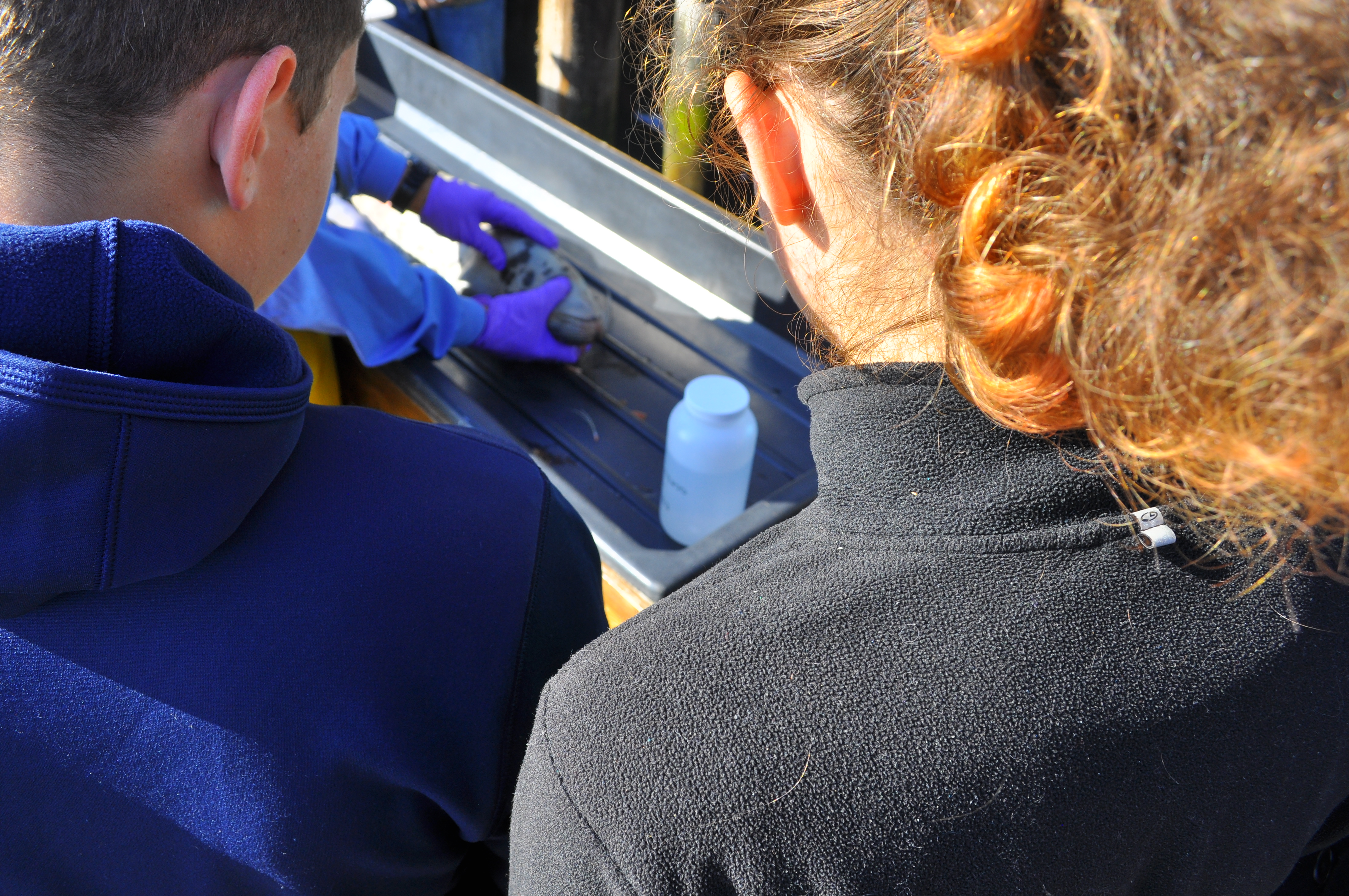
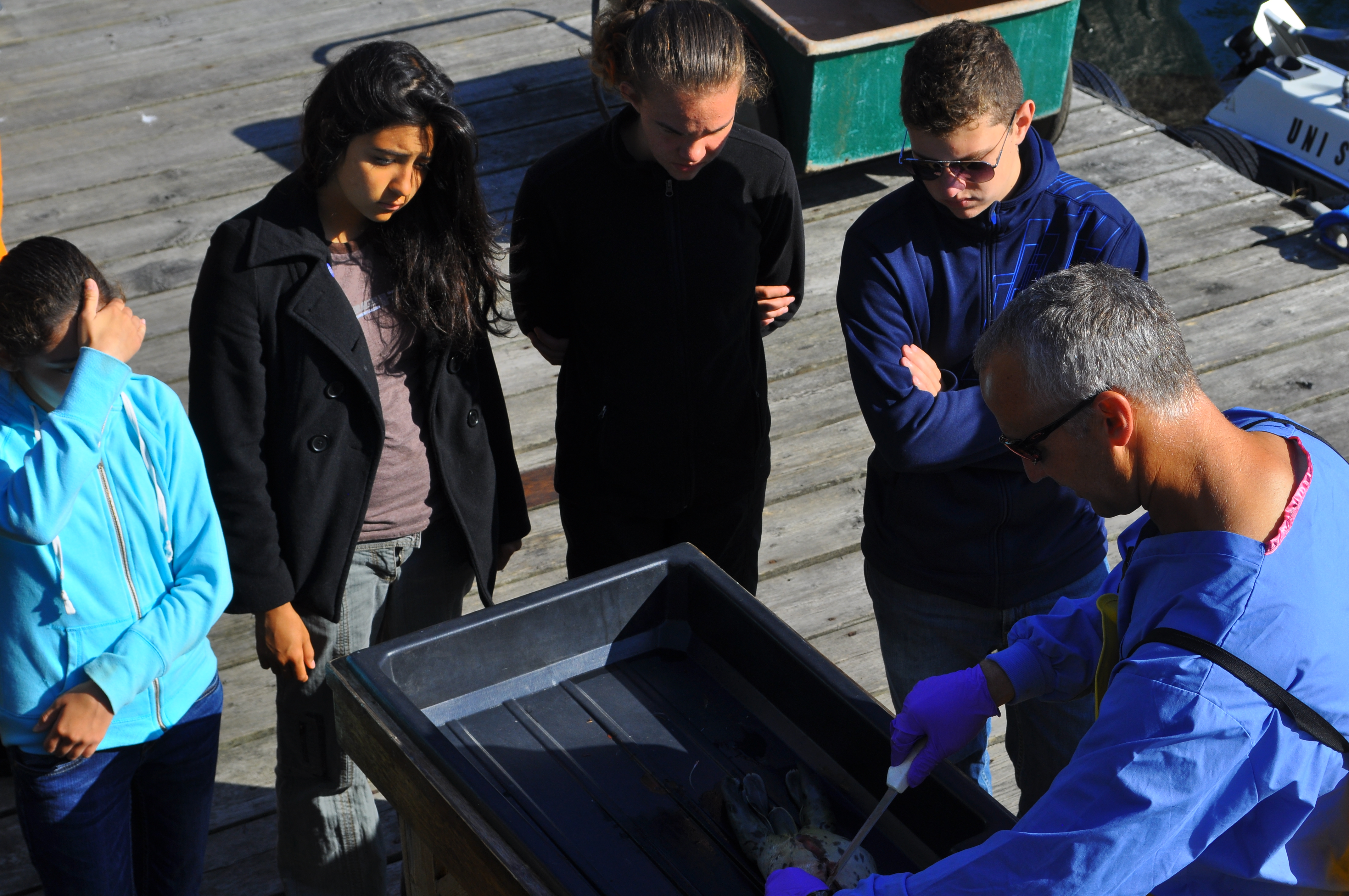
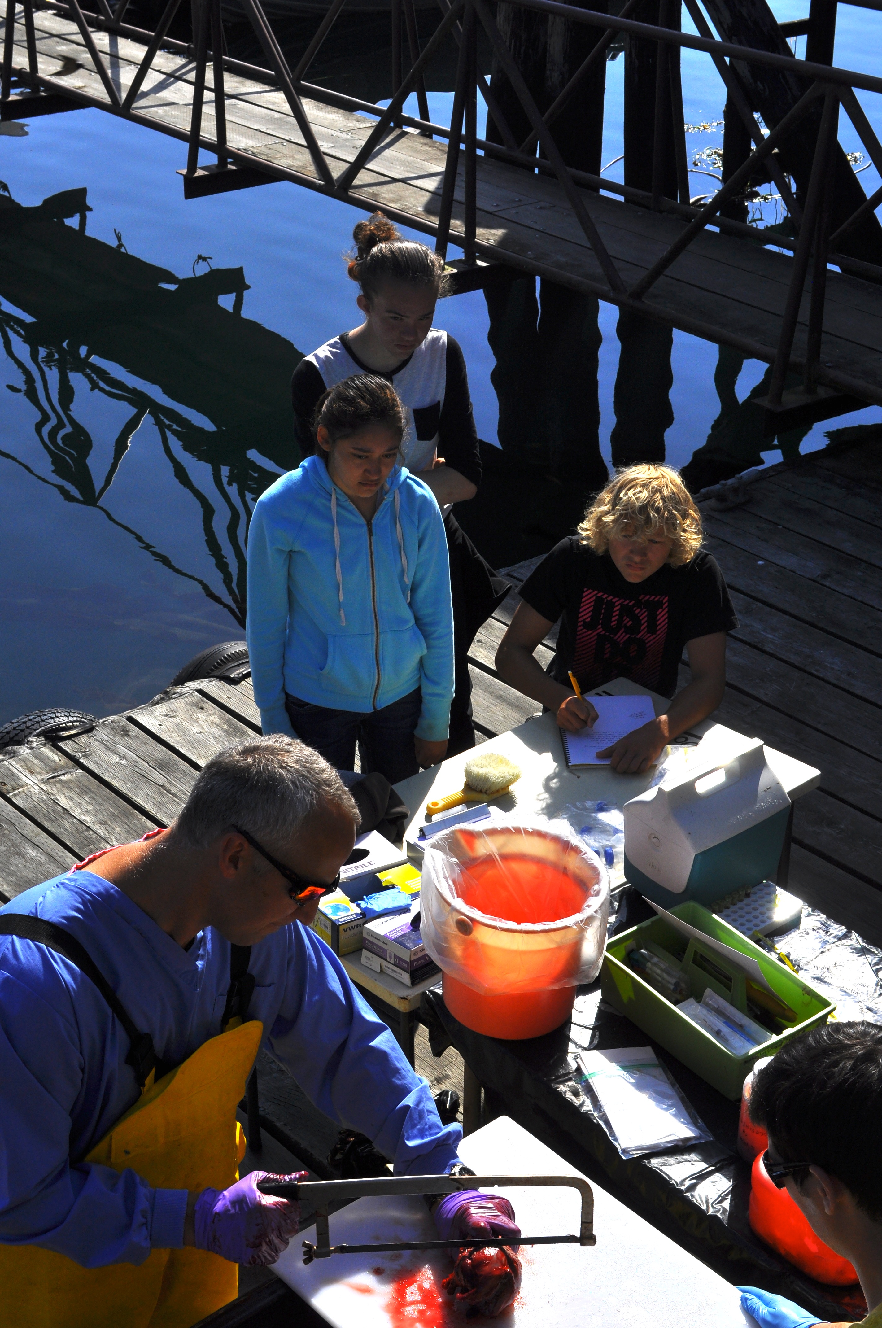
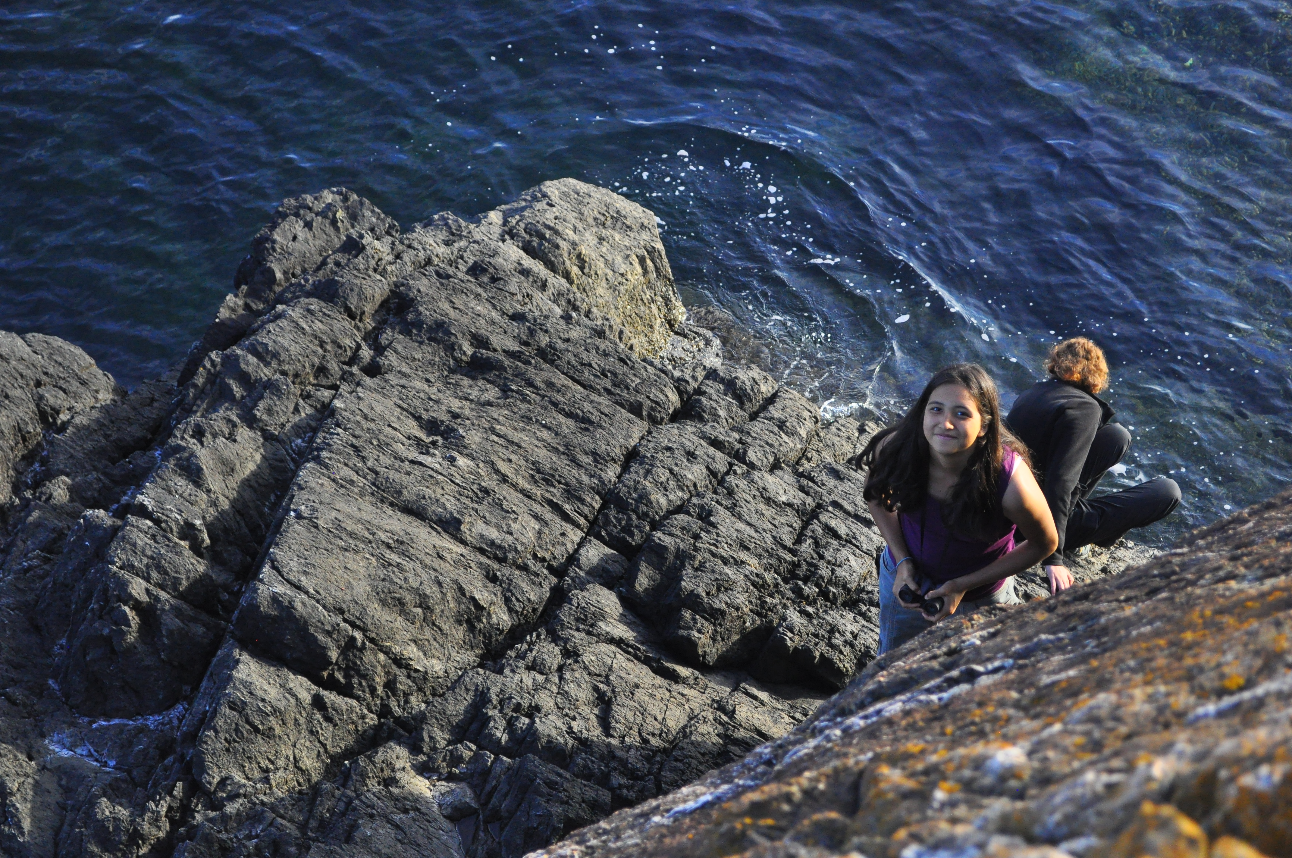
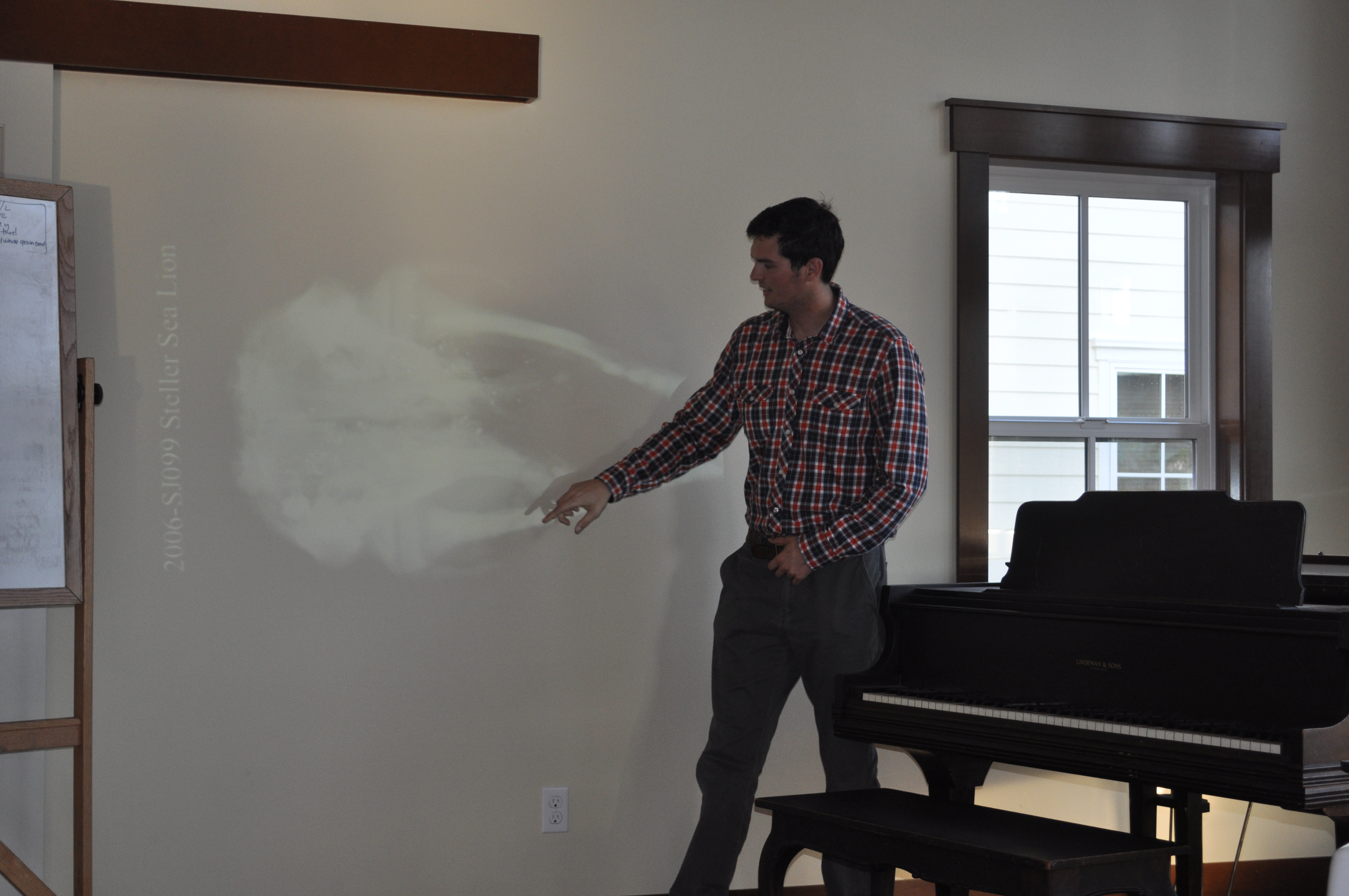
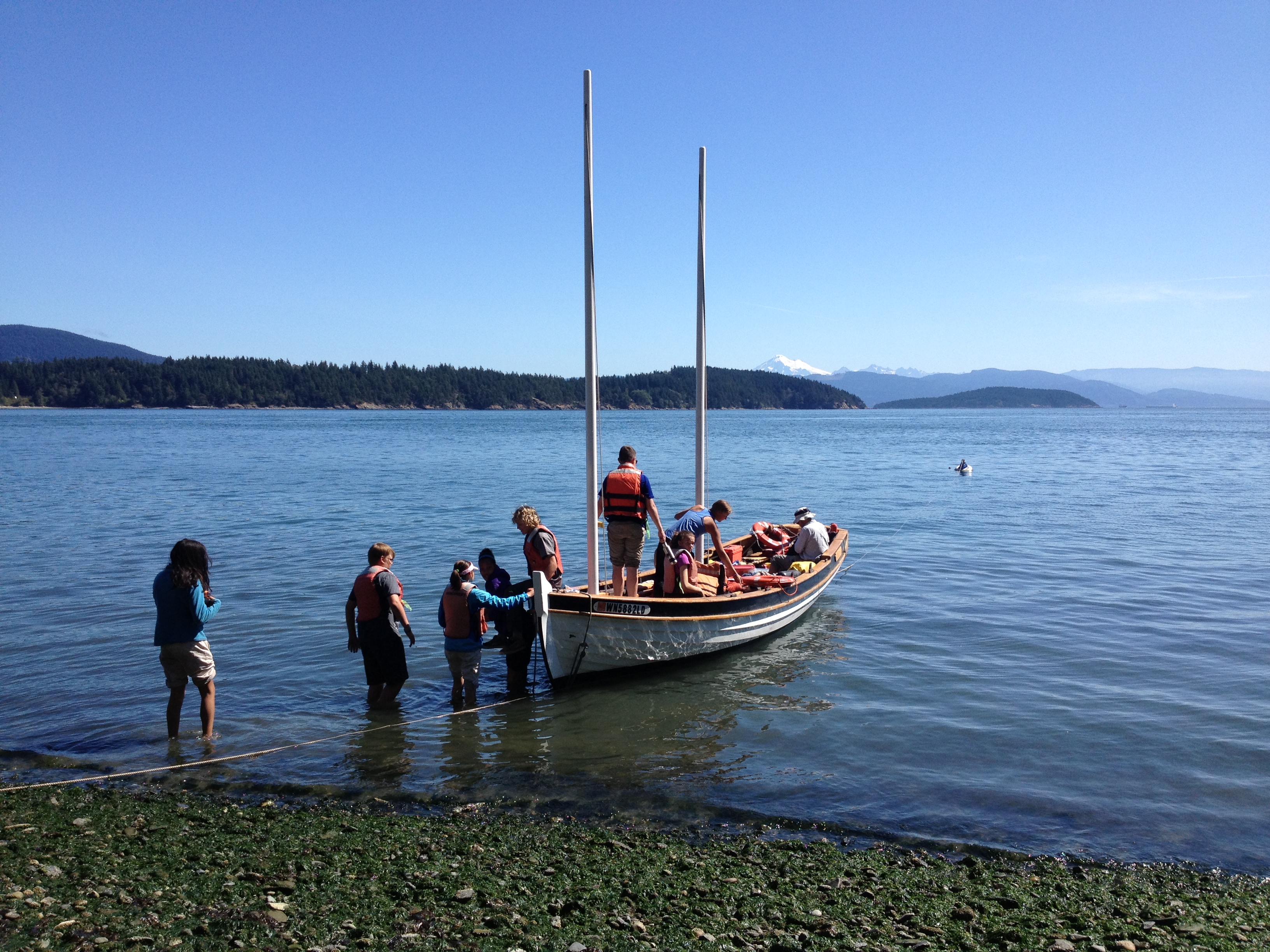
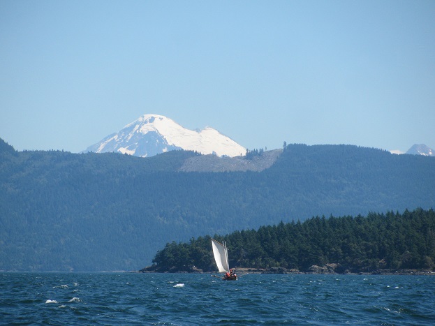
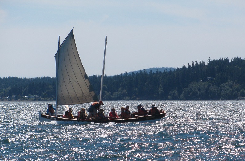
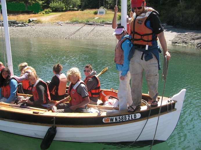
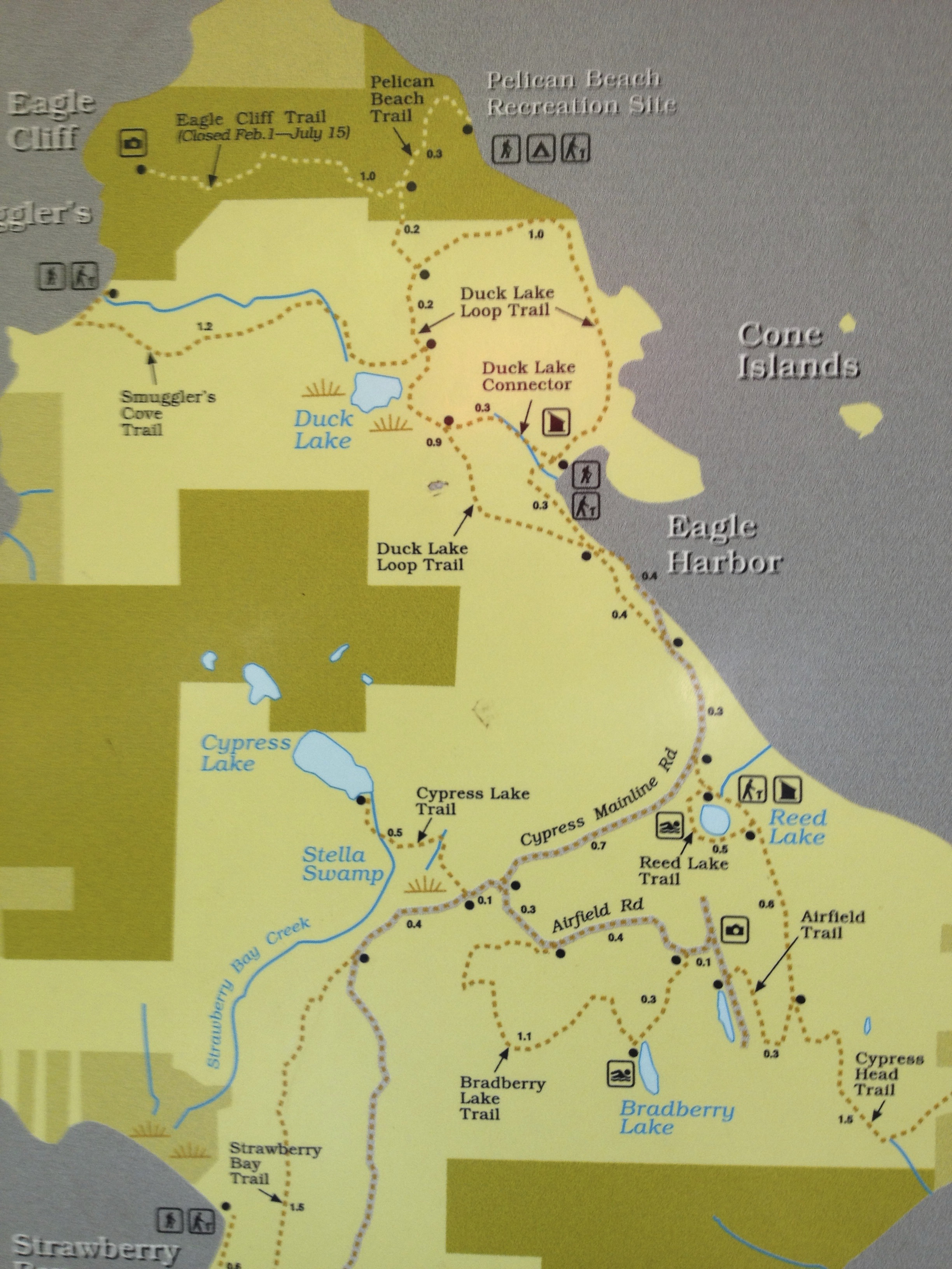
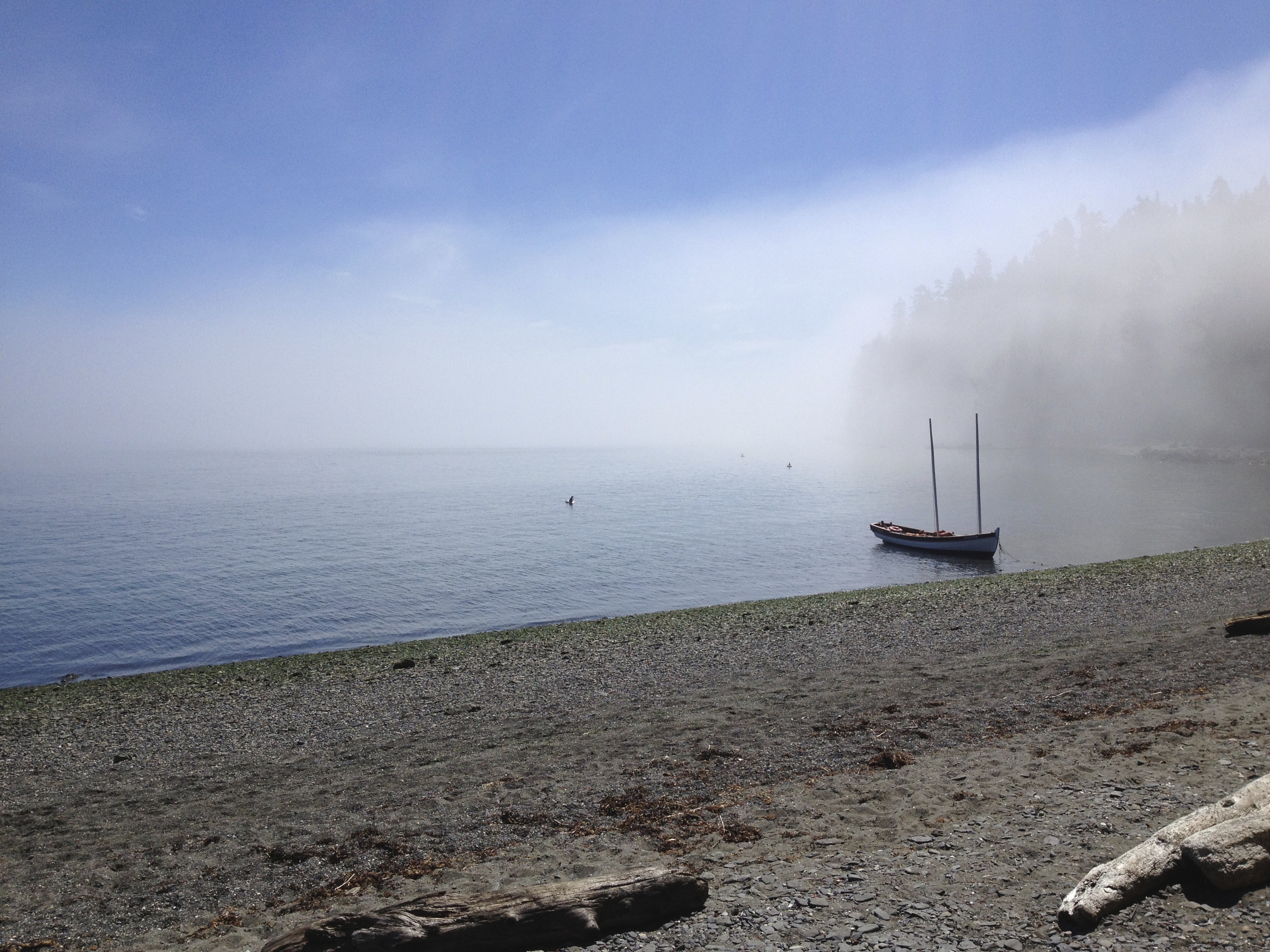
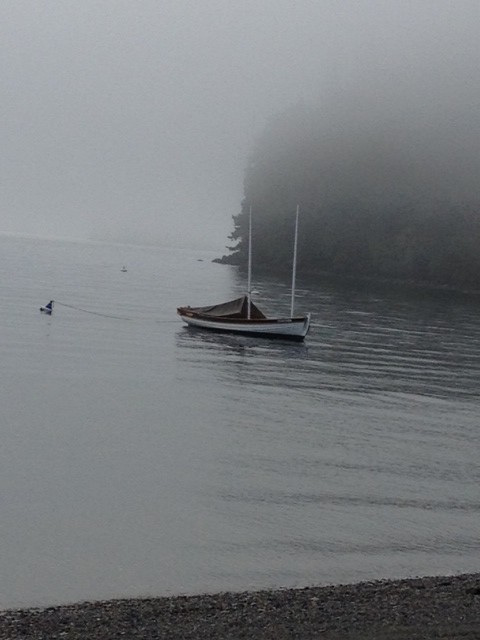
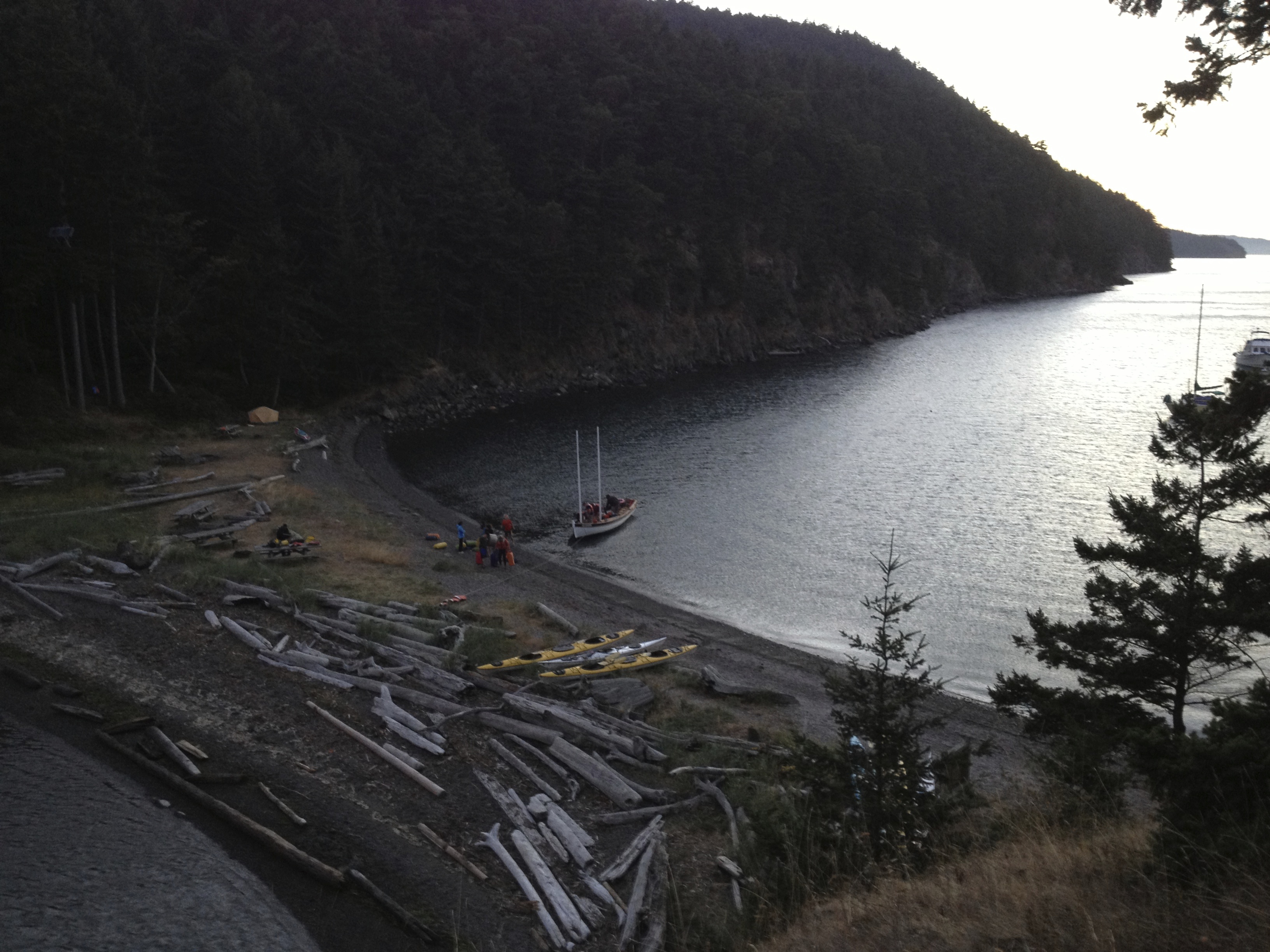
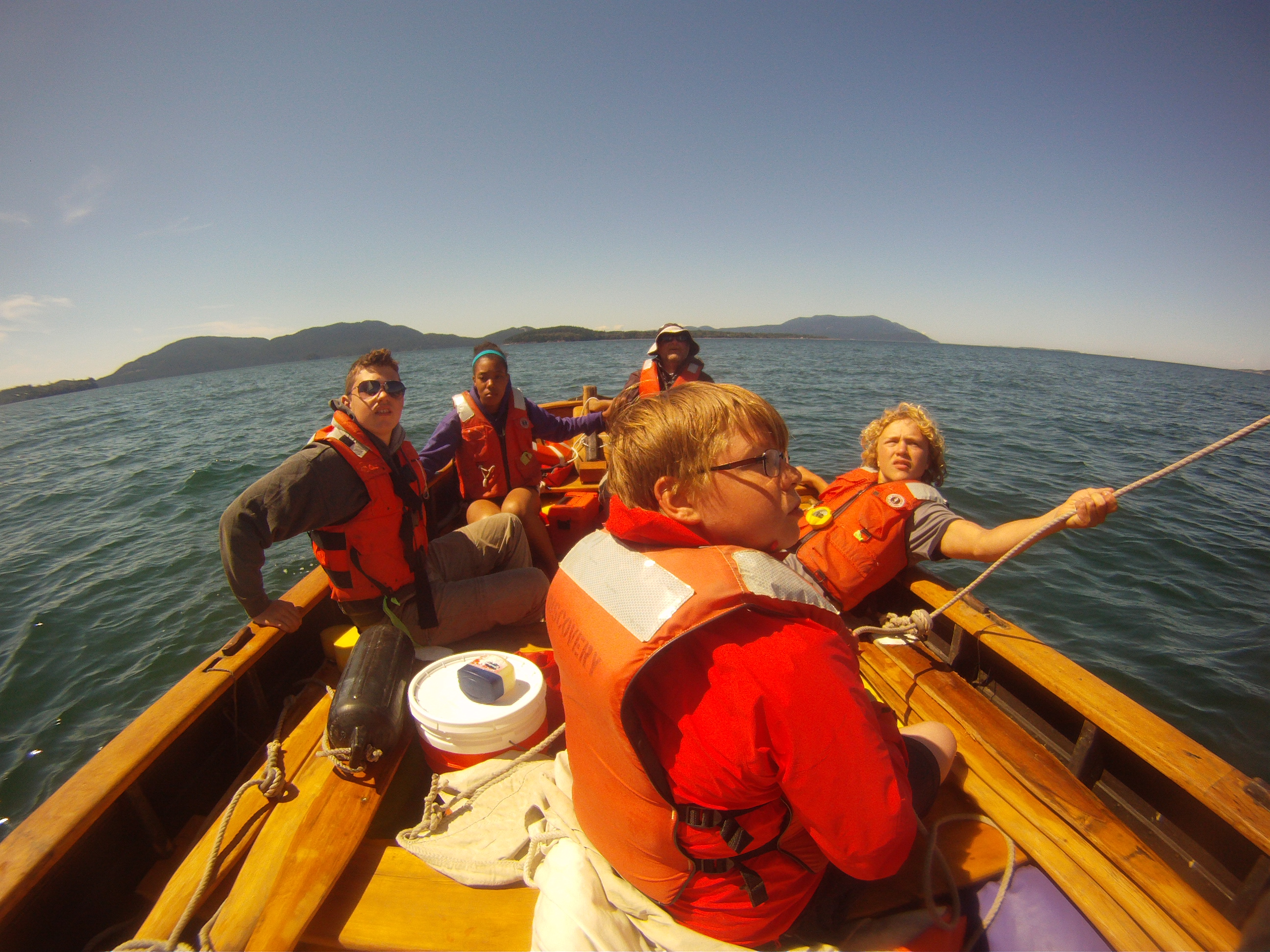
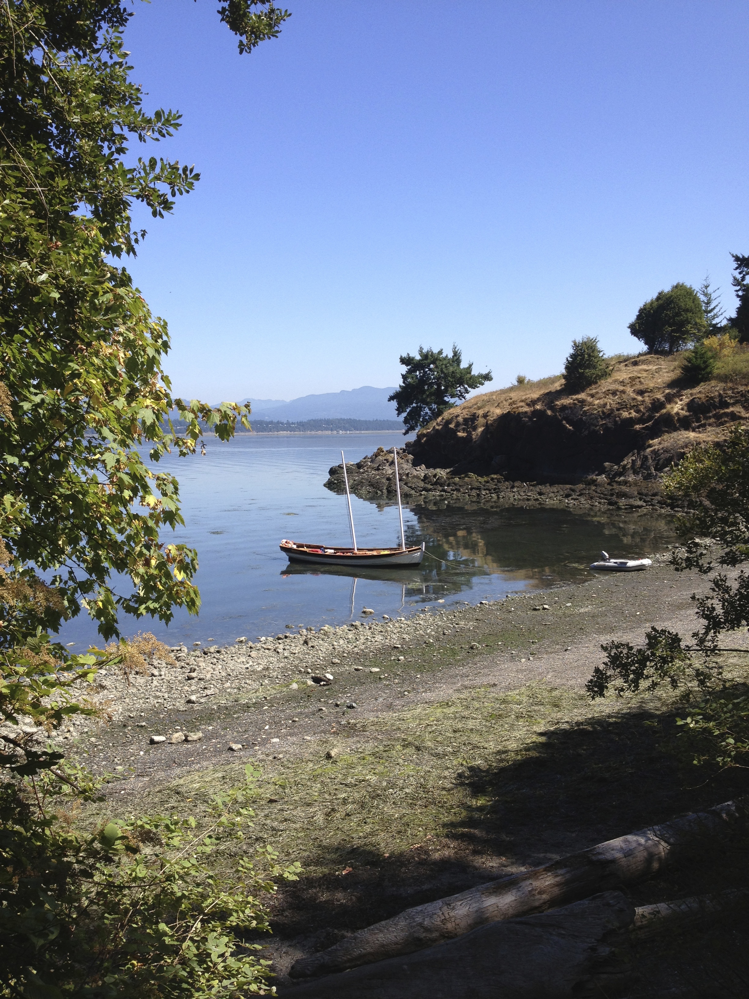
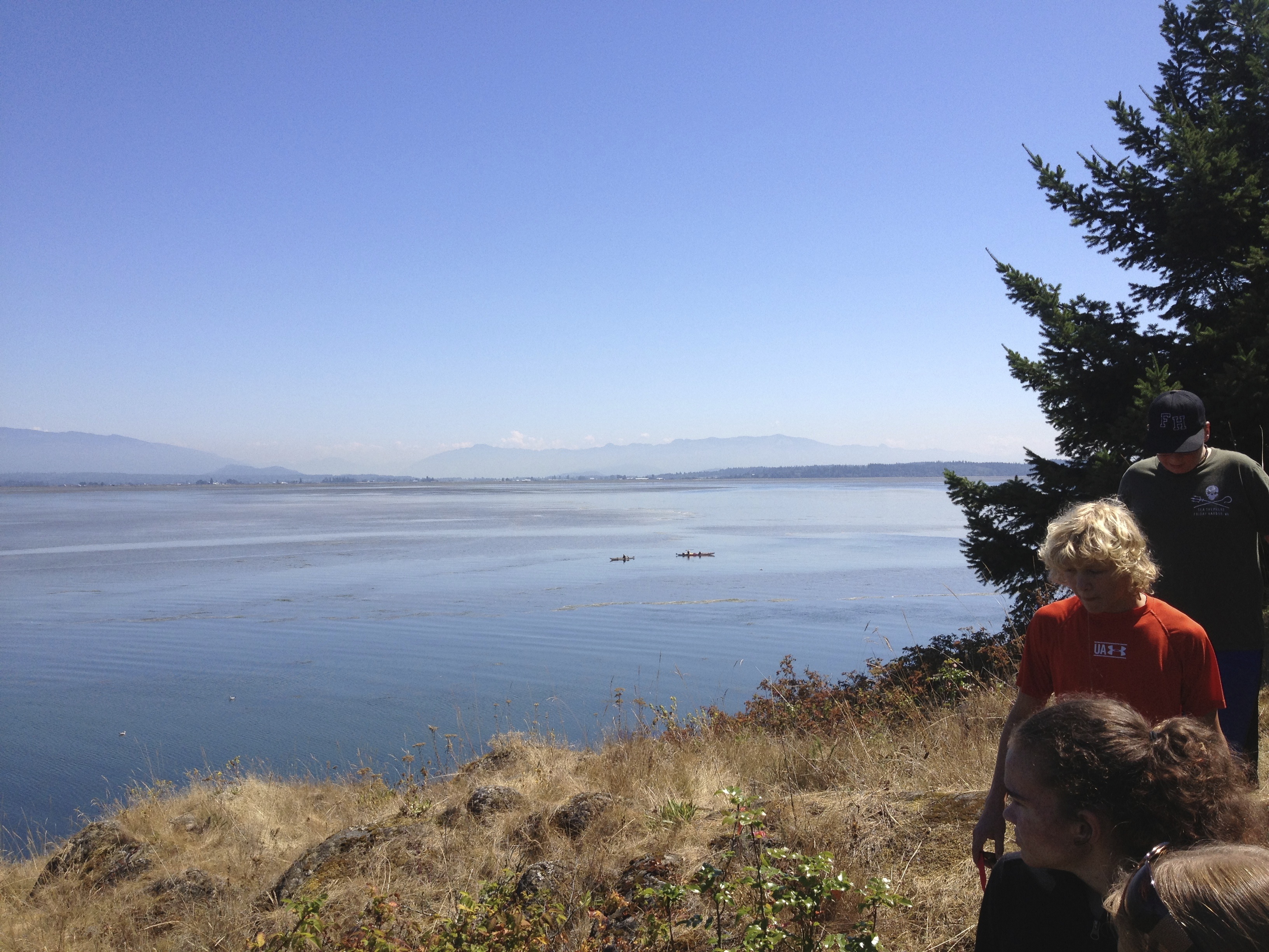
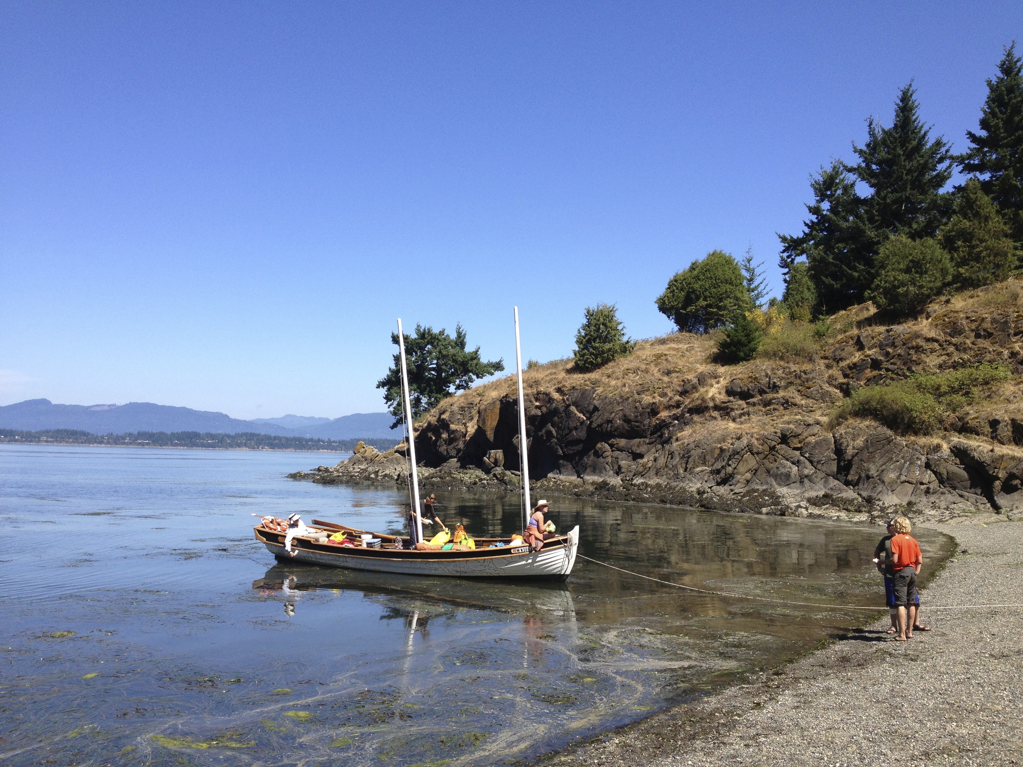
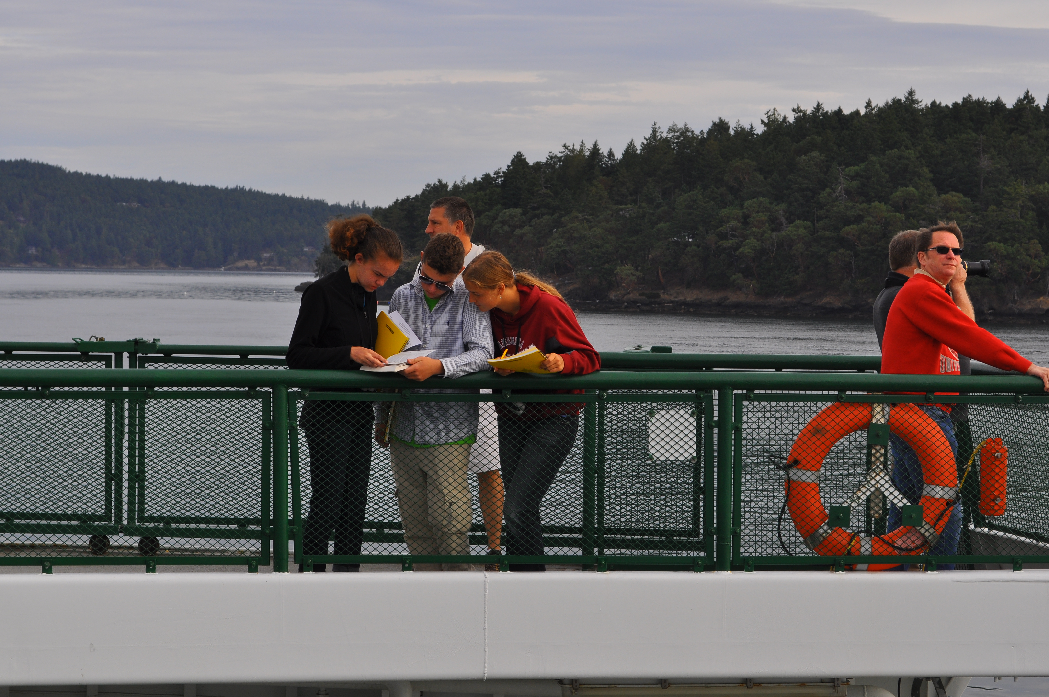
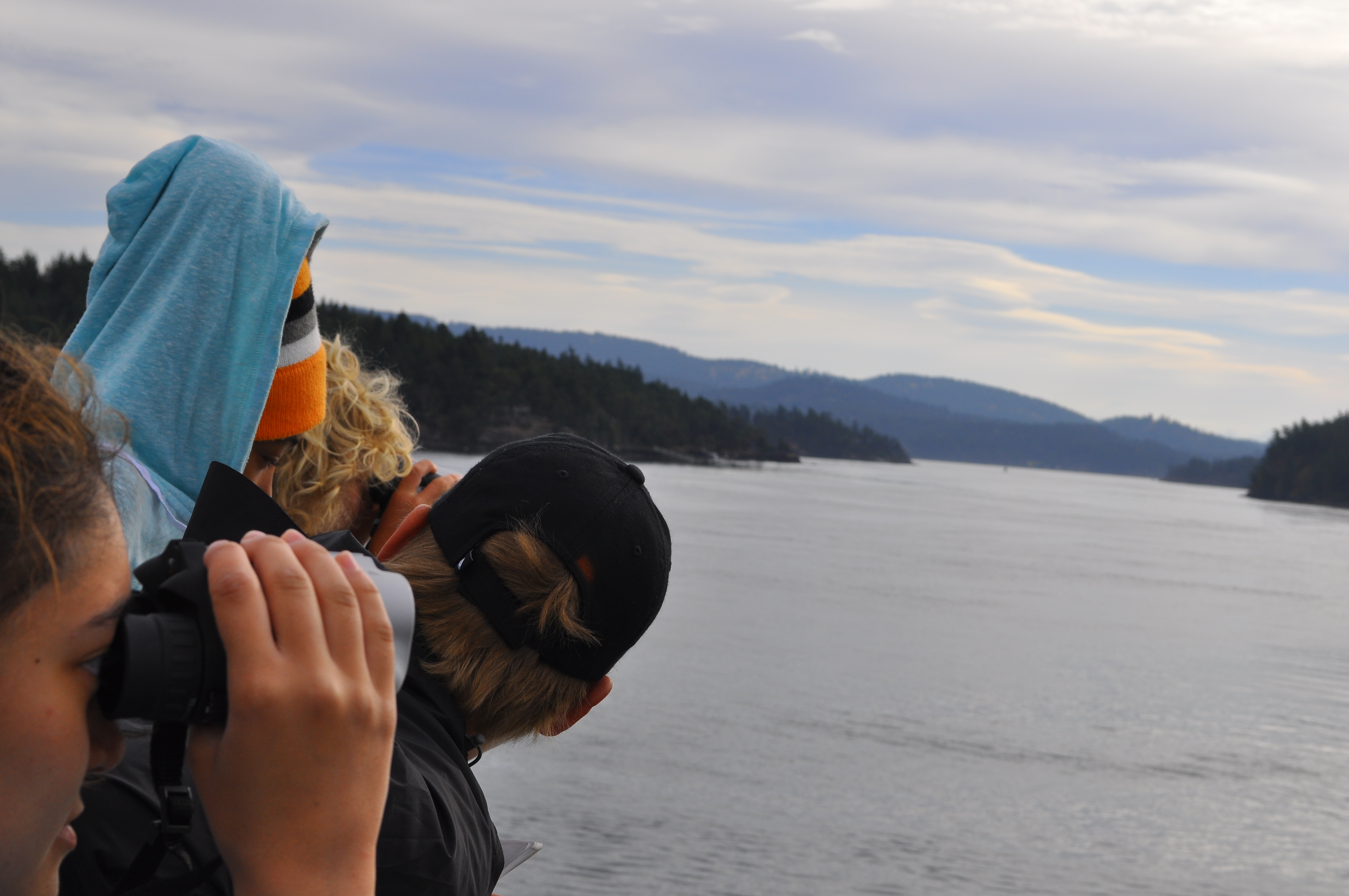
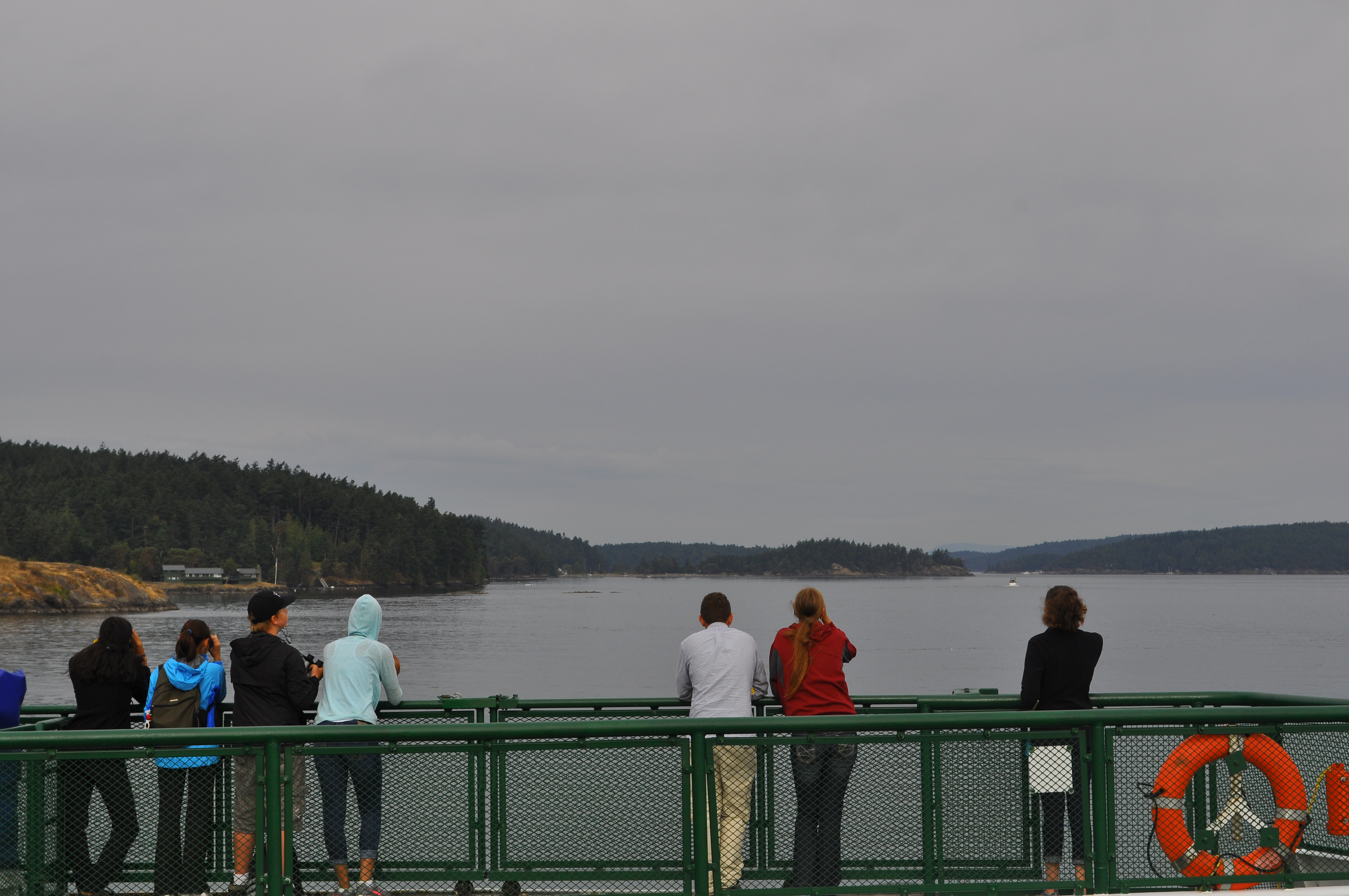
A beautiful day again and they are off with binoculars and notebooks in hand to do a bird and mammal count aboard the inter-island ferry that cruises between San Juan, Shaw, Orcas, and Lopez islands. Participants used methods developed by the Pelagic Ecosystem Function apprenticeship taught each fall at UW-FHL to identify and quantify birds and mammals along the “transect” run by the ferry.

Bird and Mammals Survey Timelapse

DSC_0076 DSC_0077 DSC_0106

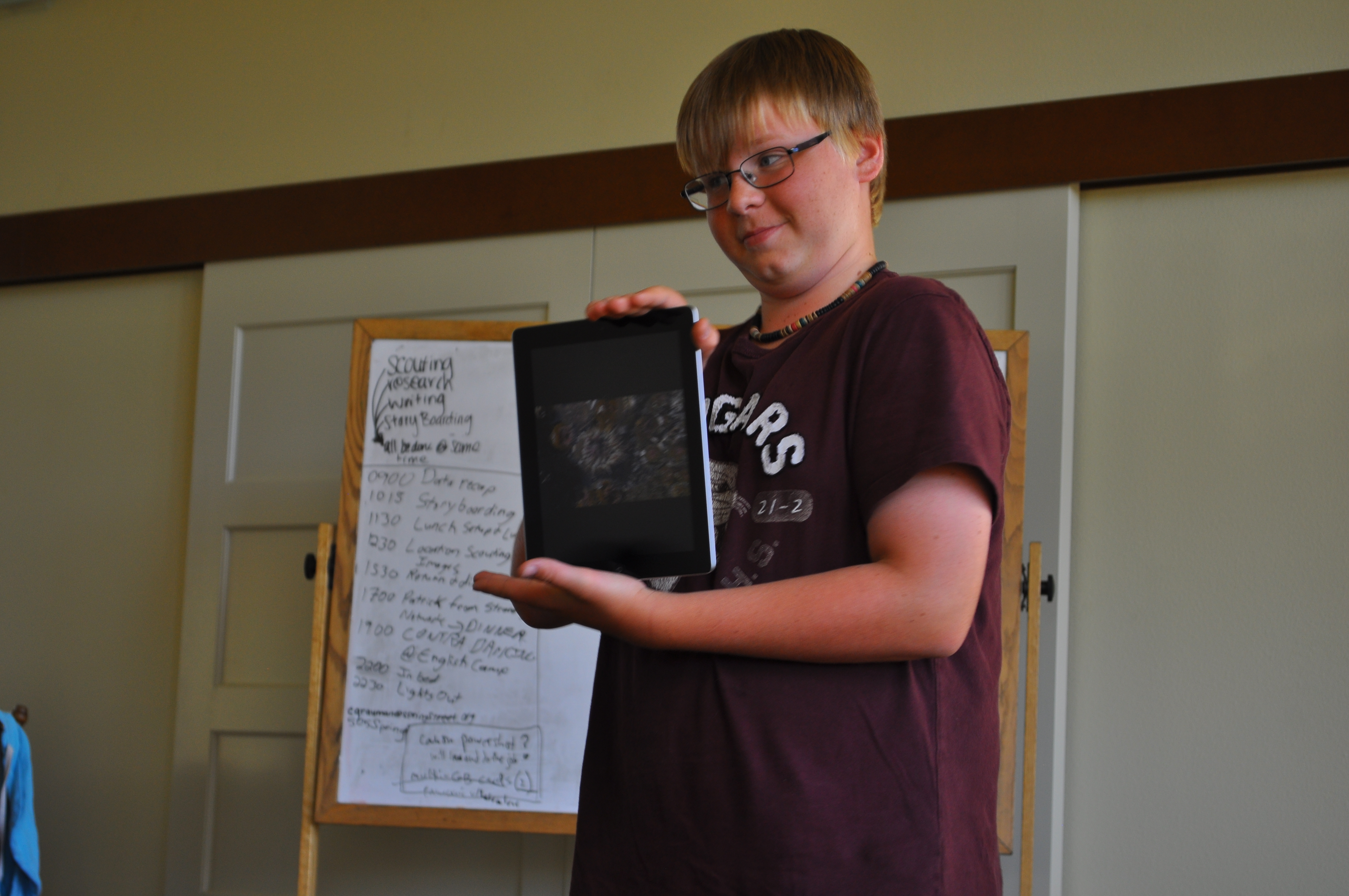
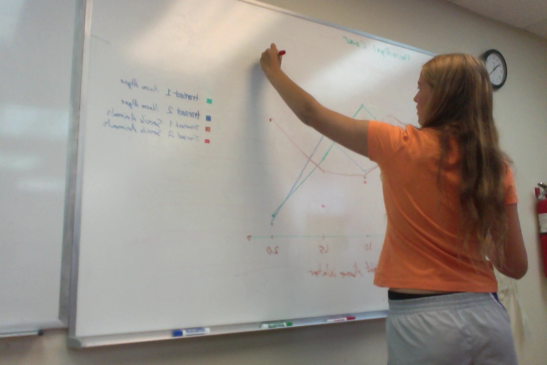
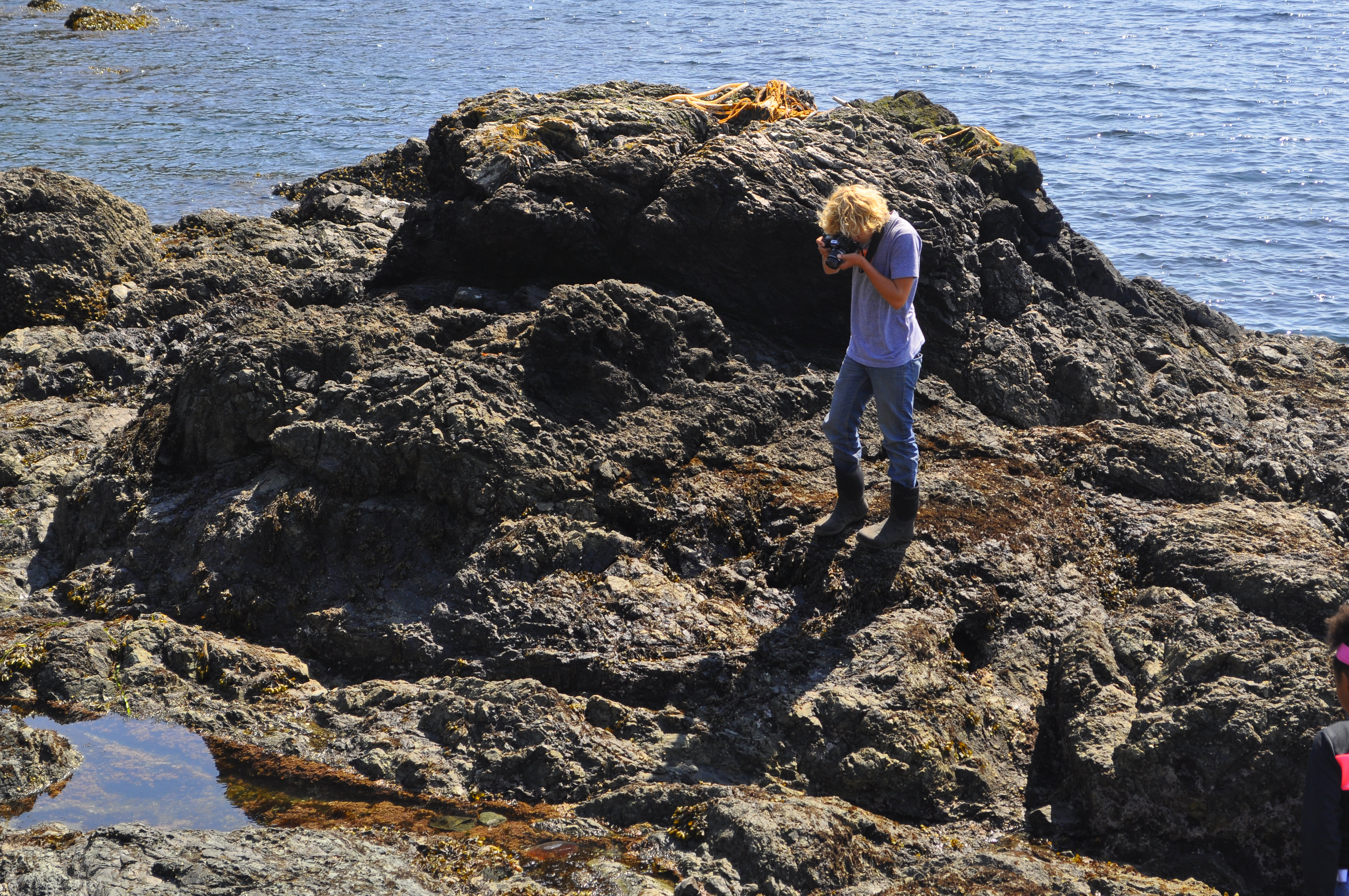
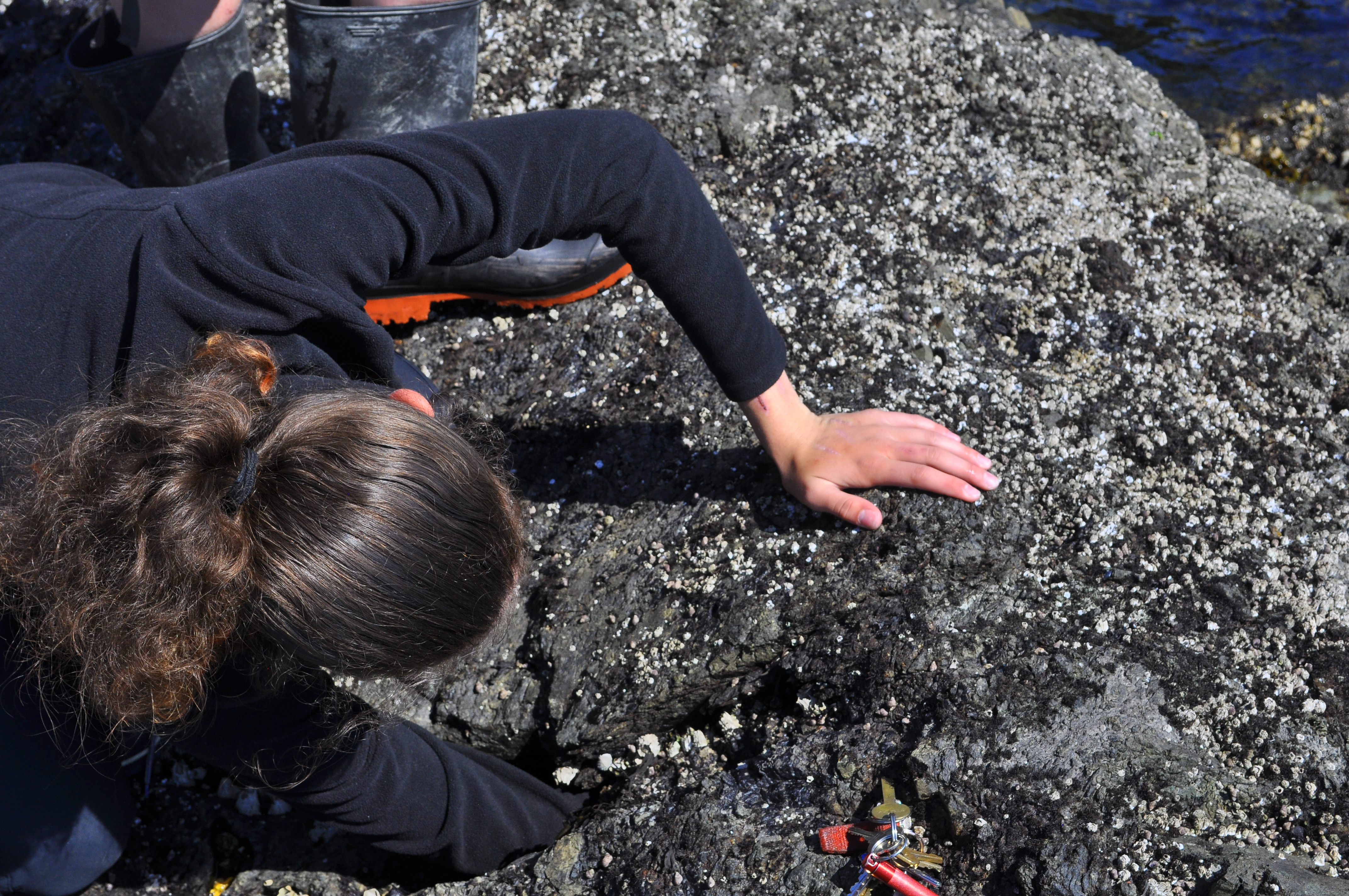
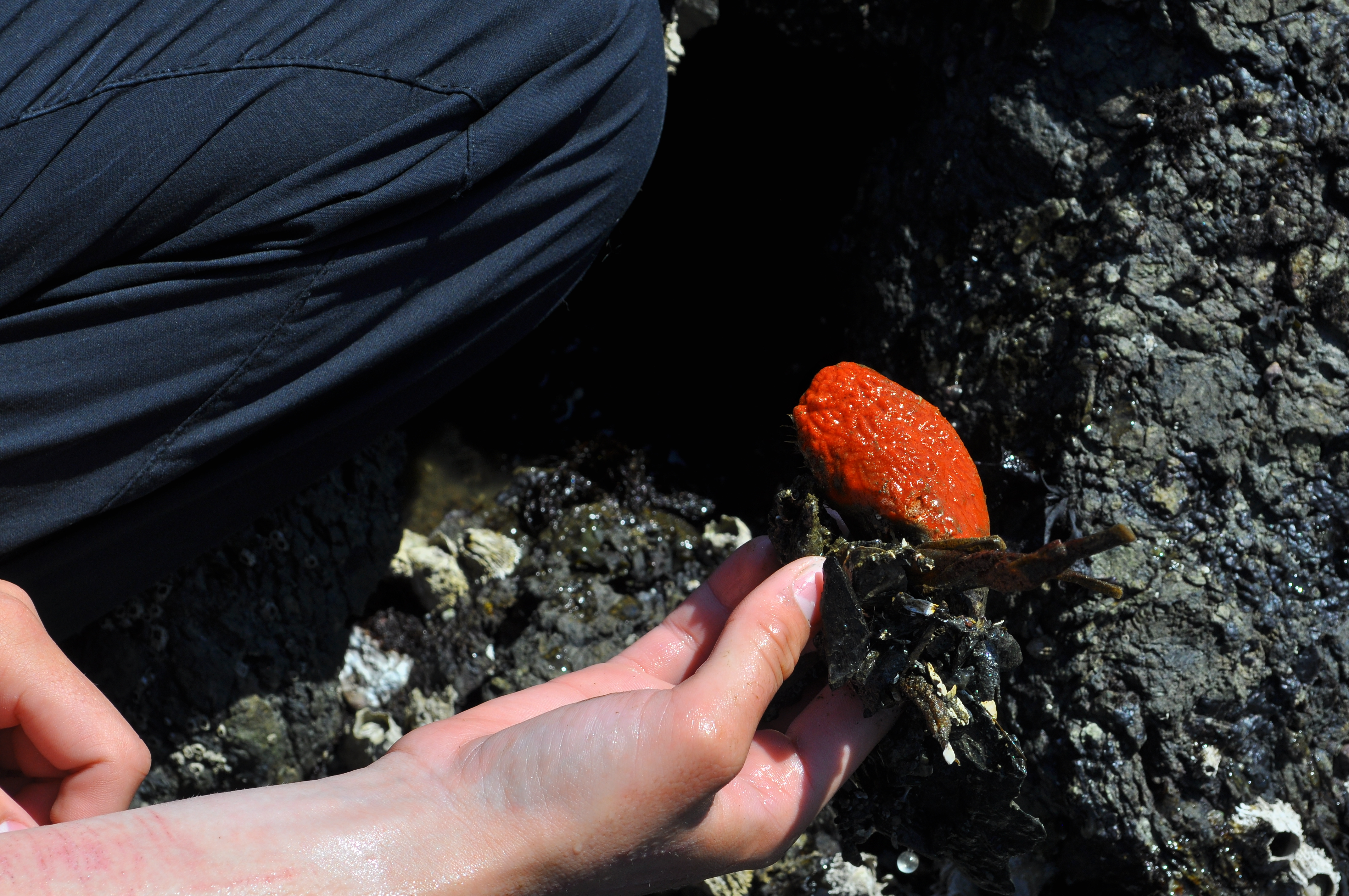
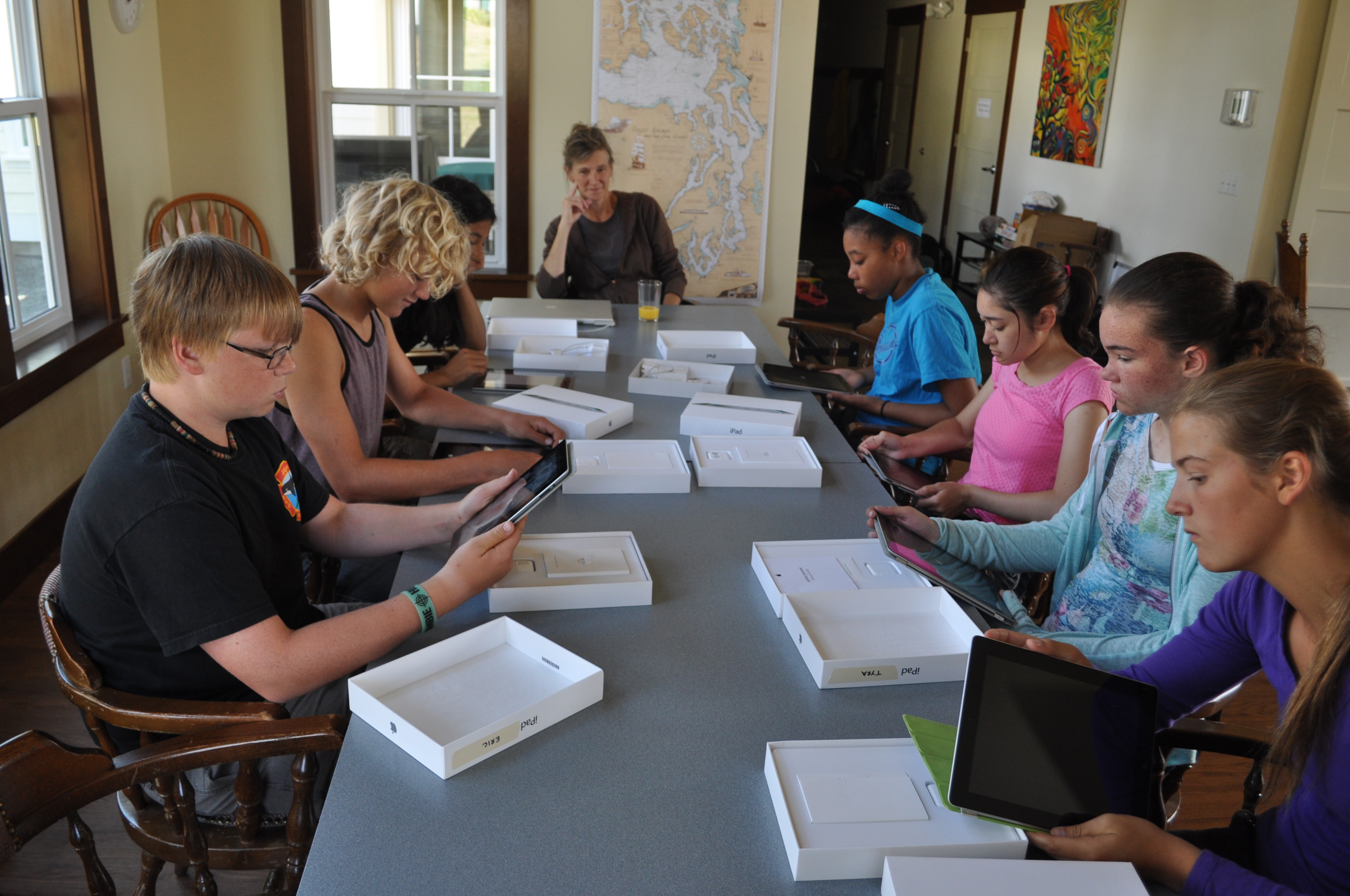
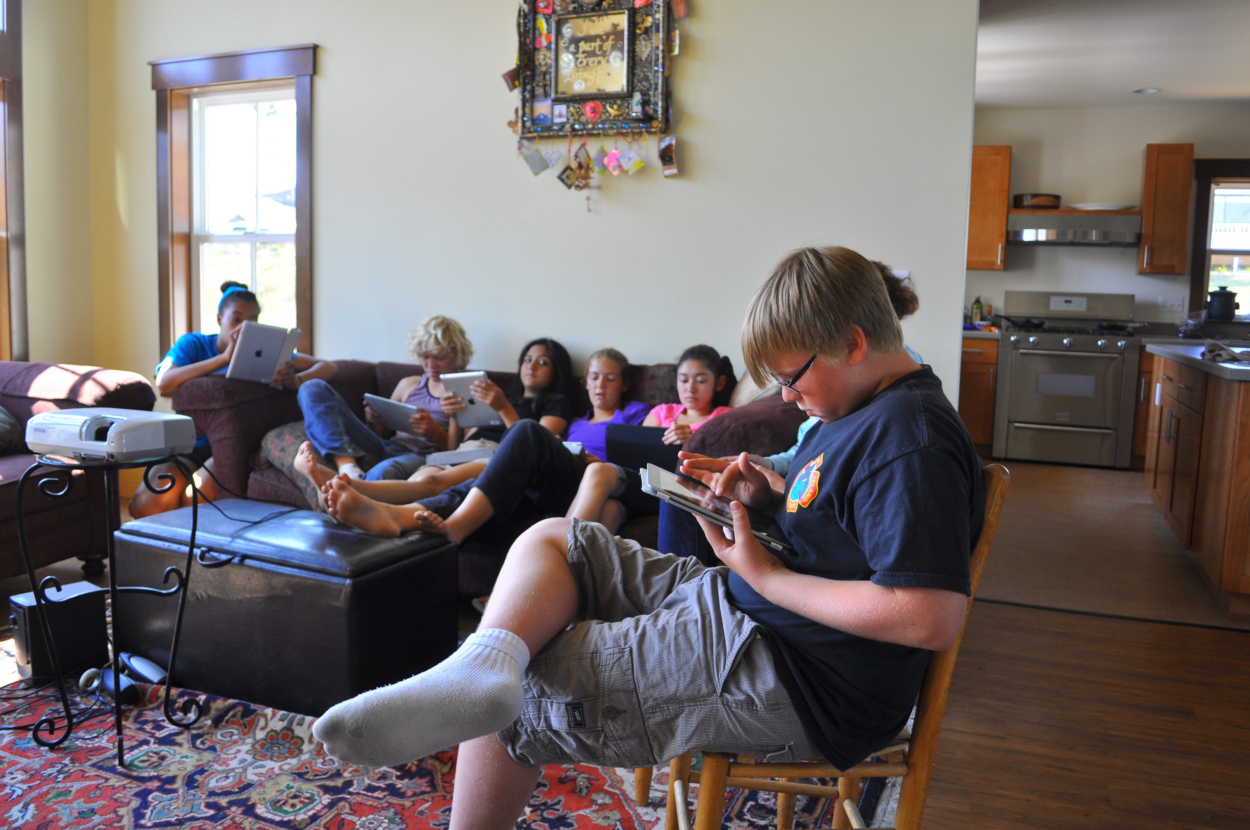
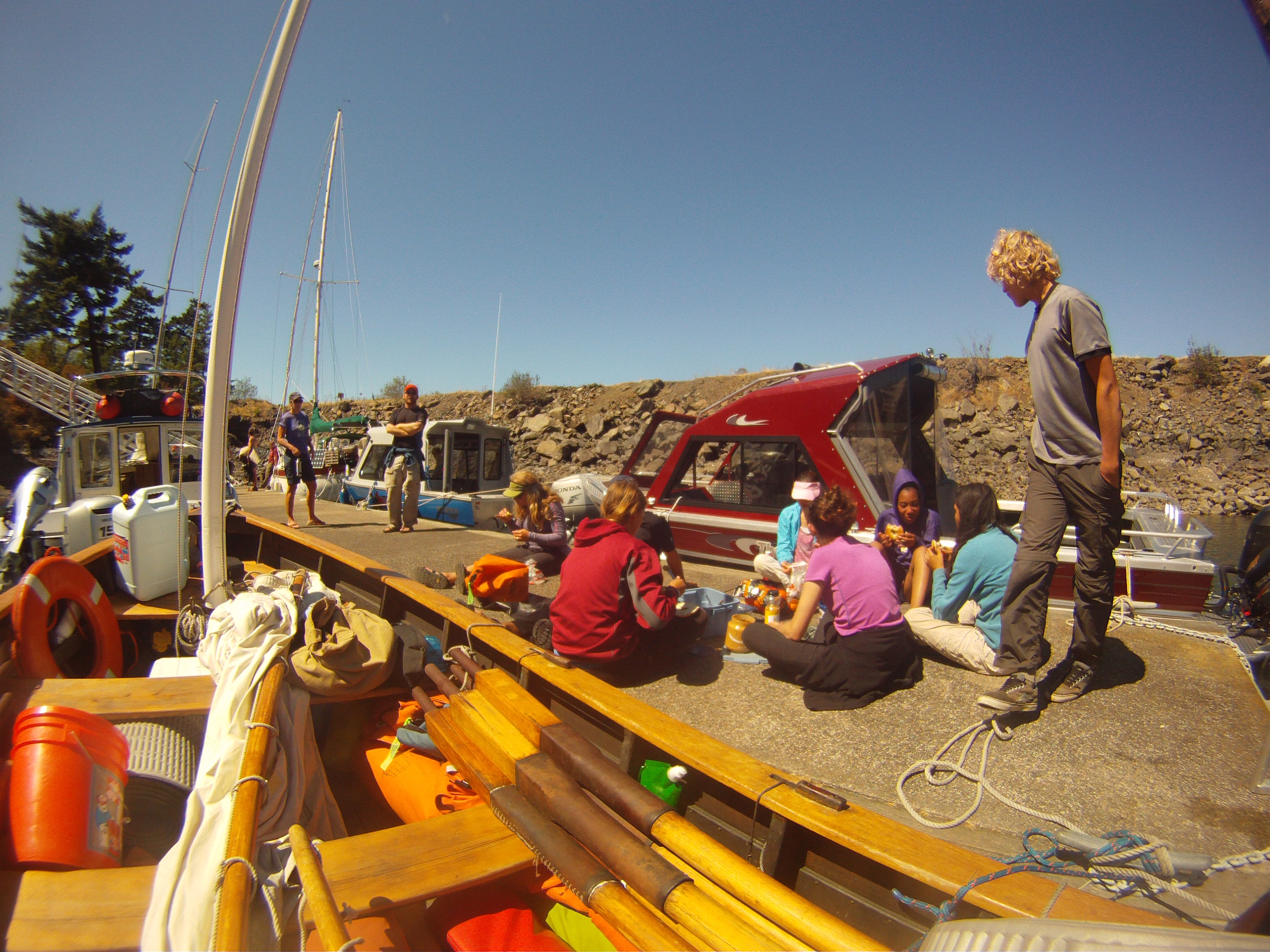
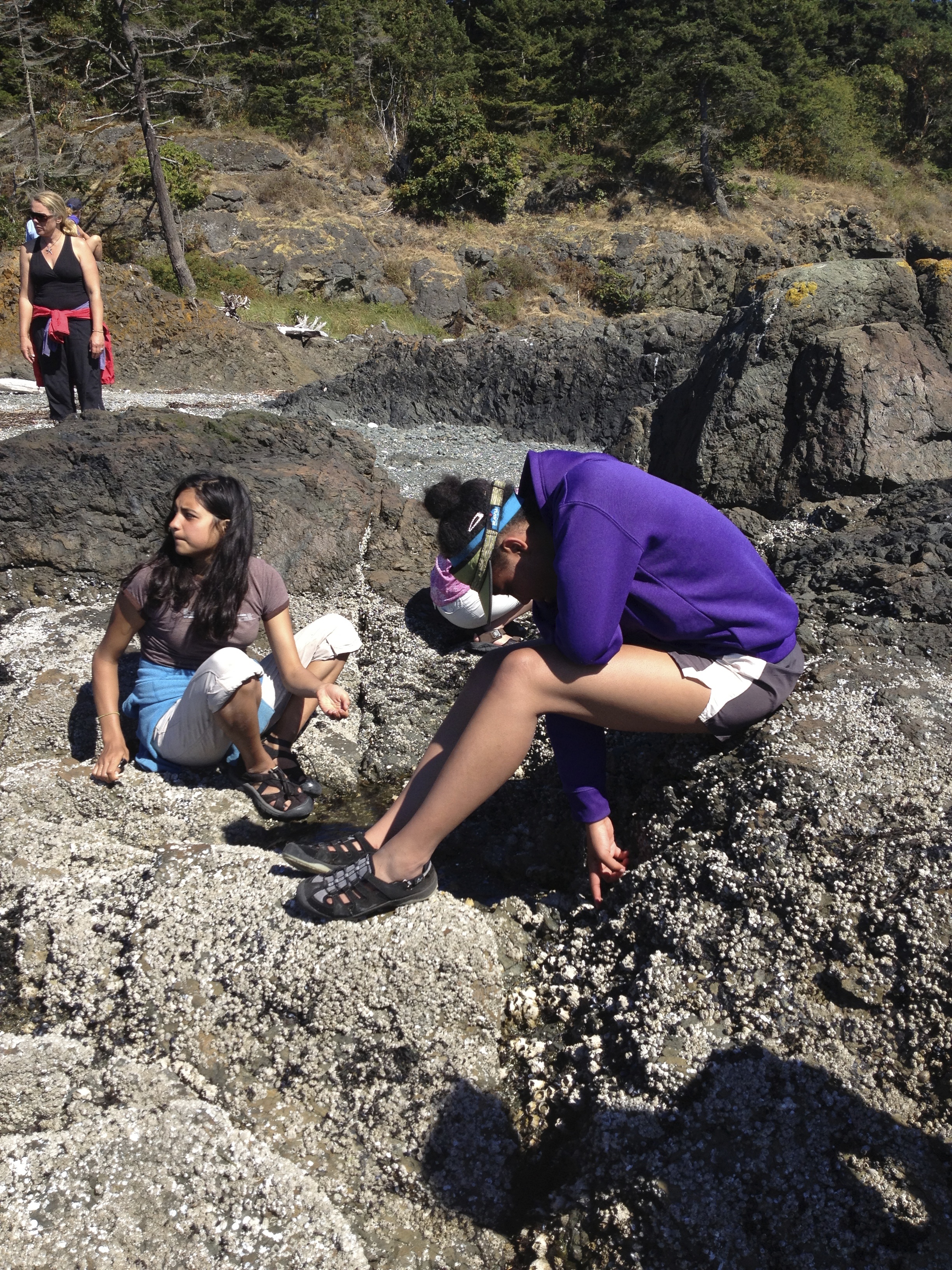
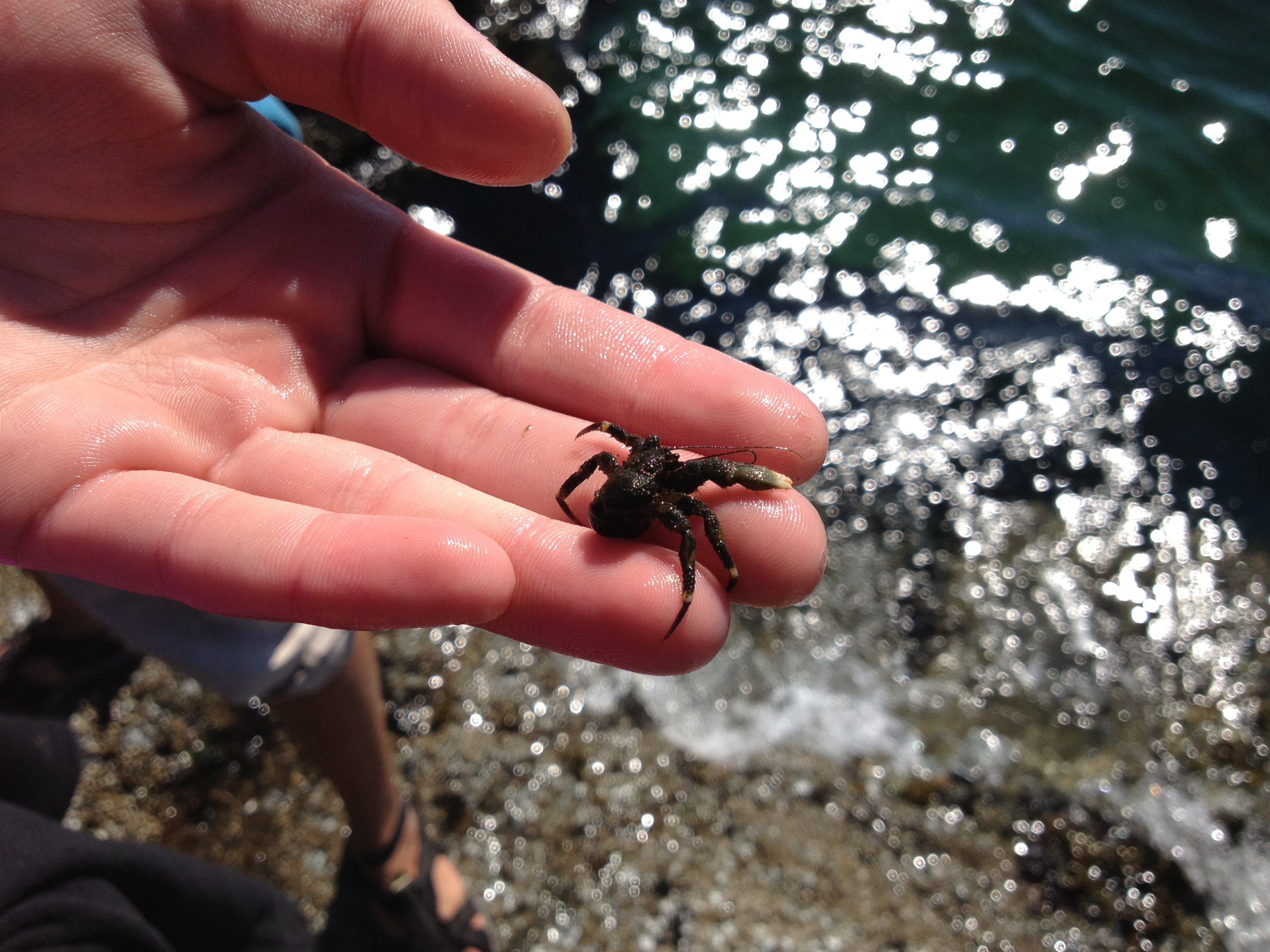
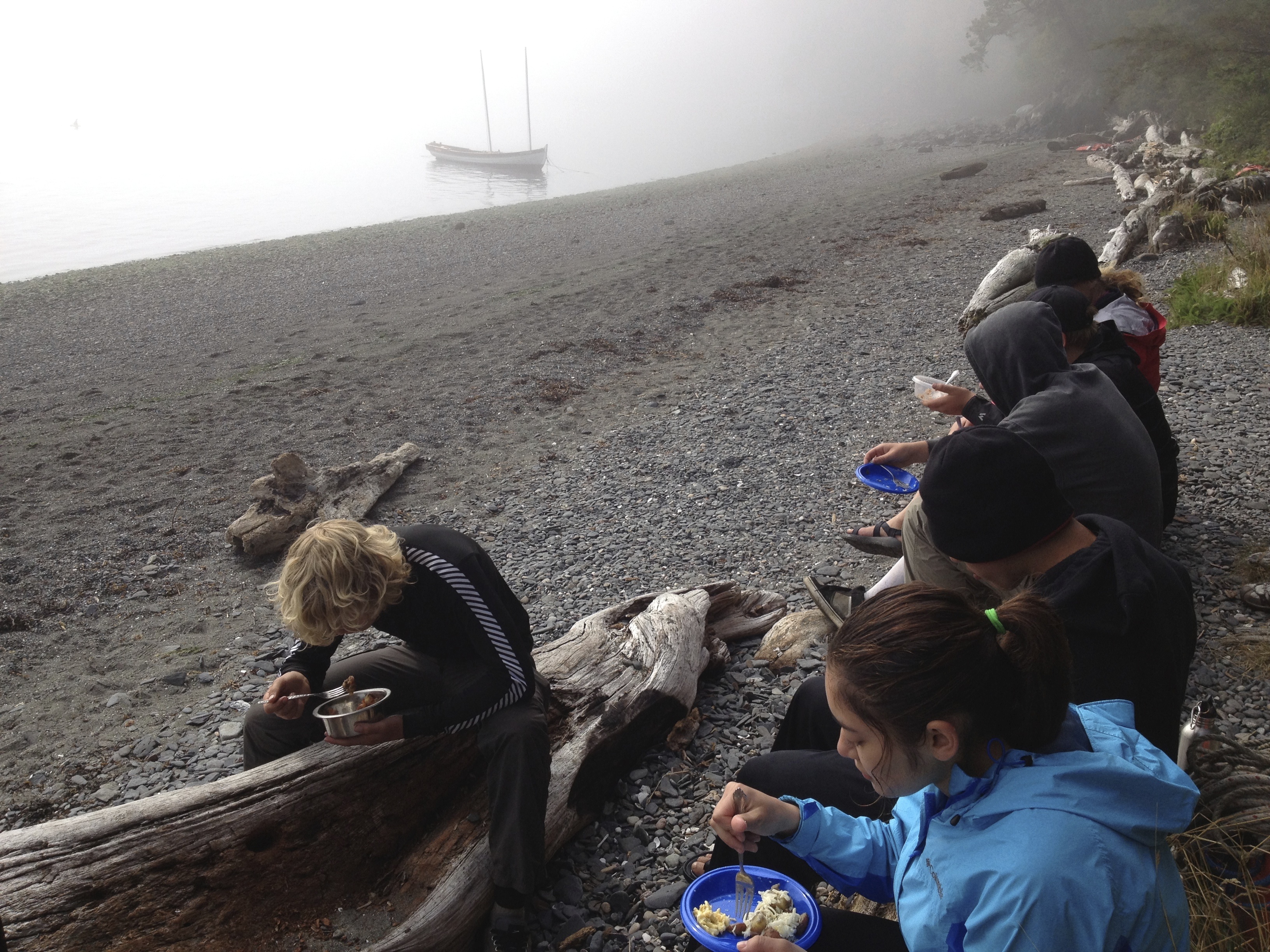
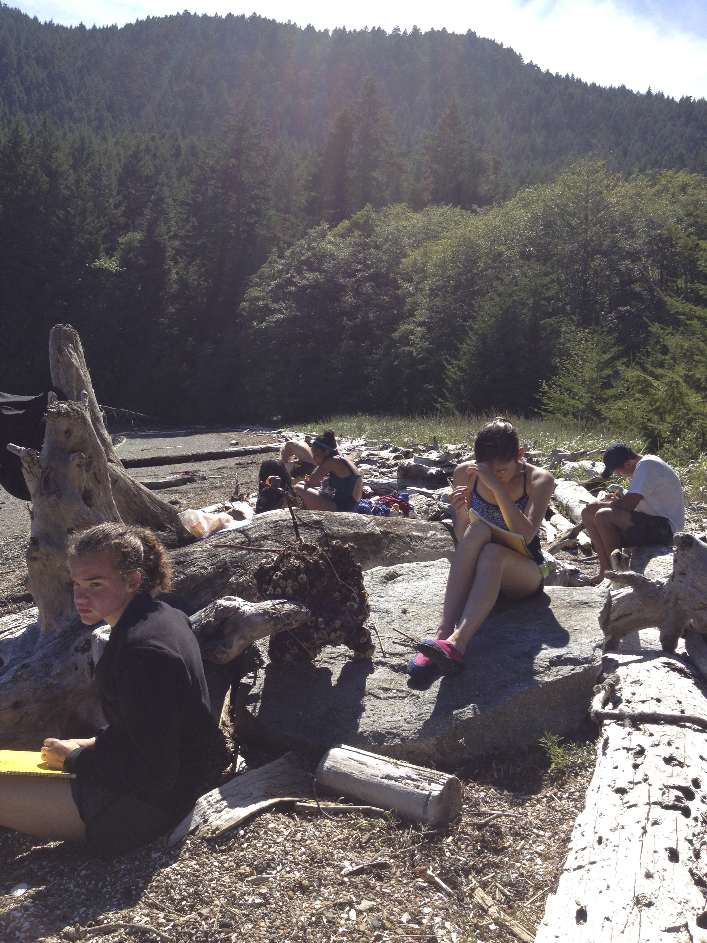
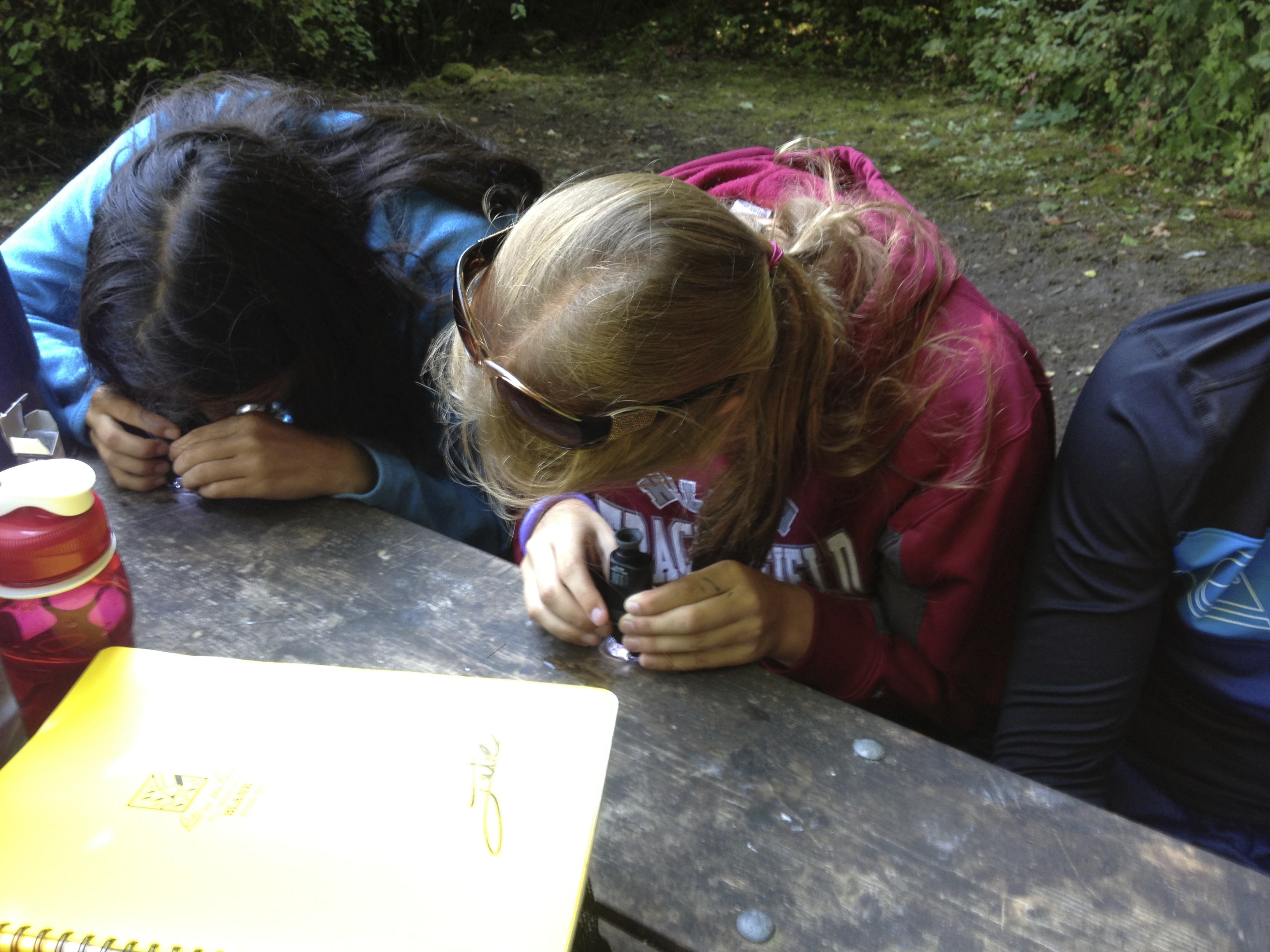
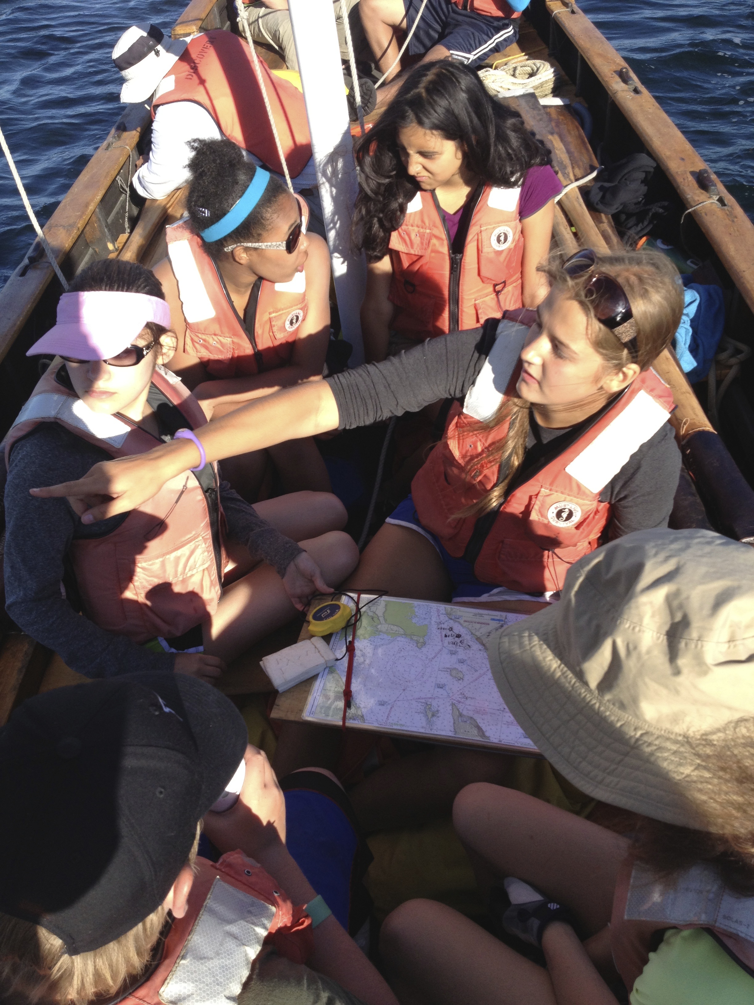
After their return, participants worked for several hours on their project development and management skills, reexamining their storyboard for their shared photo project on the creatures of the intertidal zone. The good news with digital photography is that you get a lot of great shots. The bad news? You end up with a lot of pictures!

DSC_0008

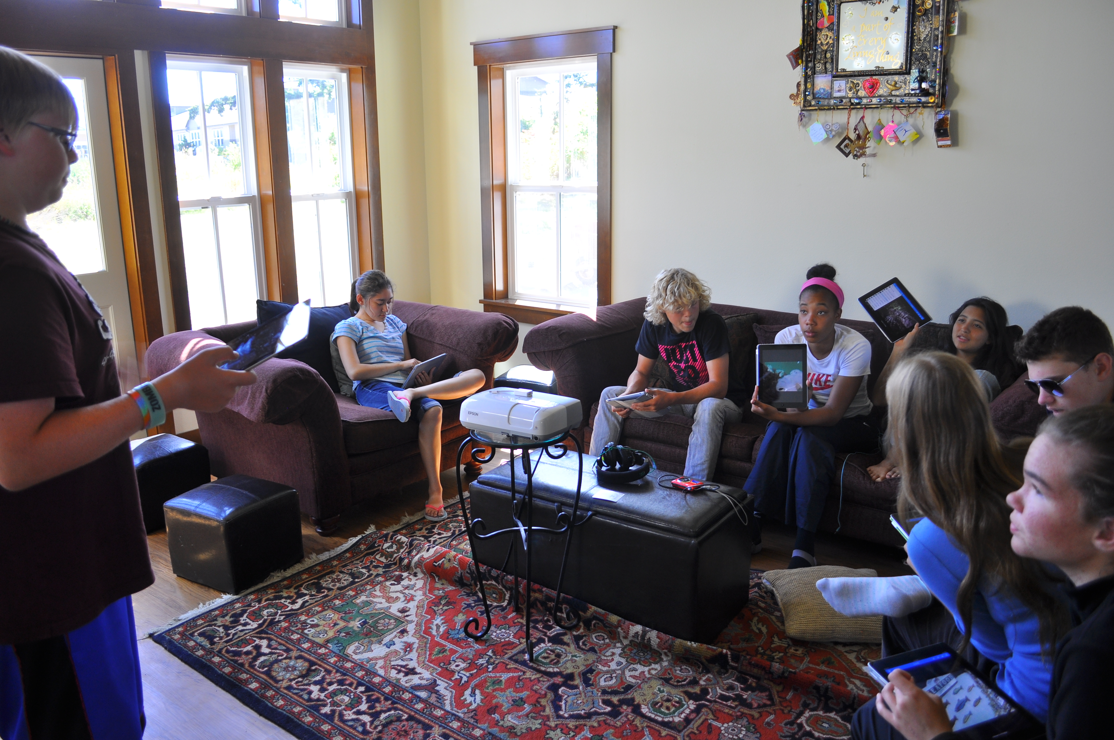
After a great deal of sorting and discussion, the crew narrowed down the point of view of the shots they were looking for, the scope of the project, and identified key tasks and individuals to work on the script, sequencing, and music. It was fun that everyone had an iPad to work with! Thank you UW Friday Harbor Laboratories for sharing your equipment for this project!

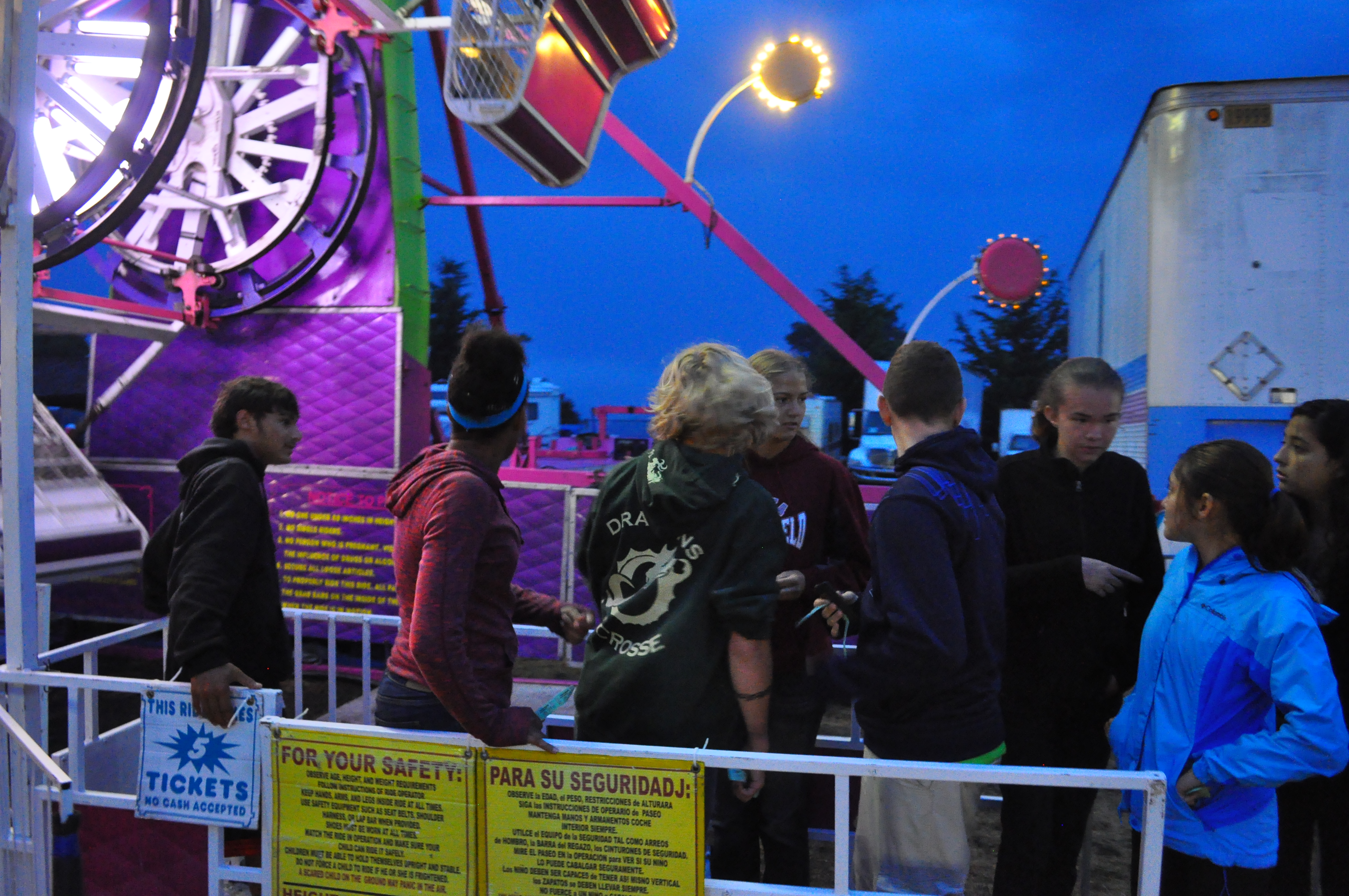
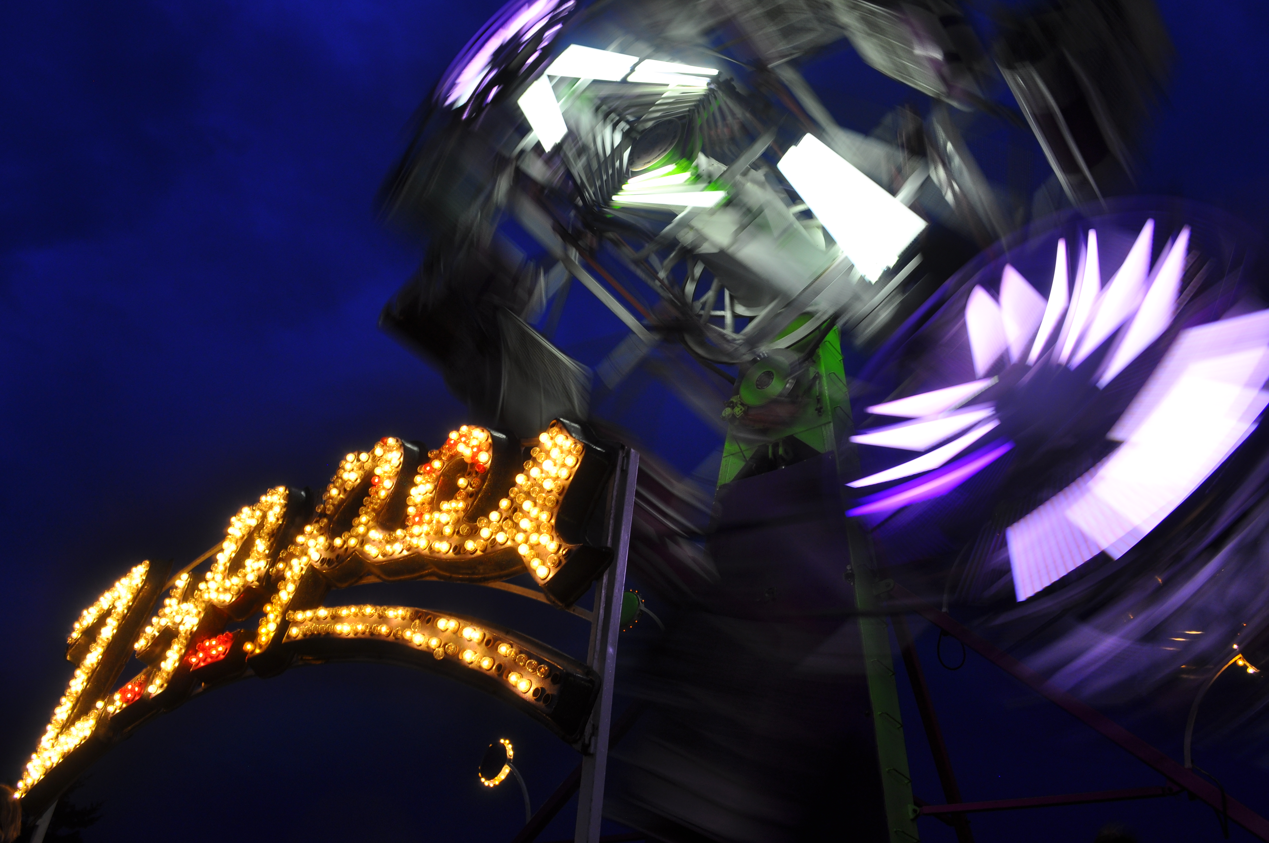
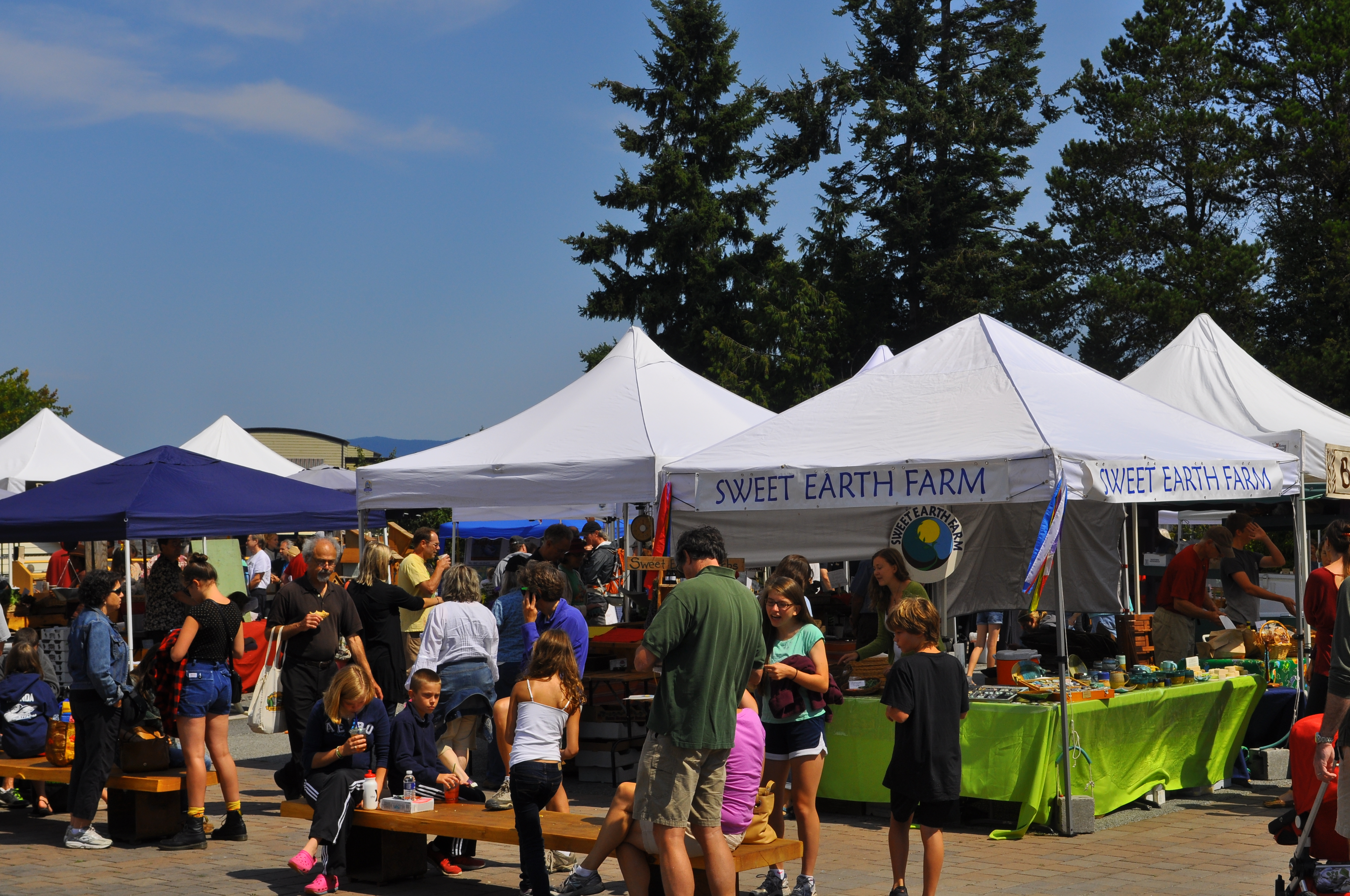
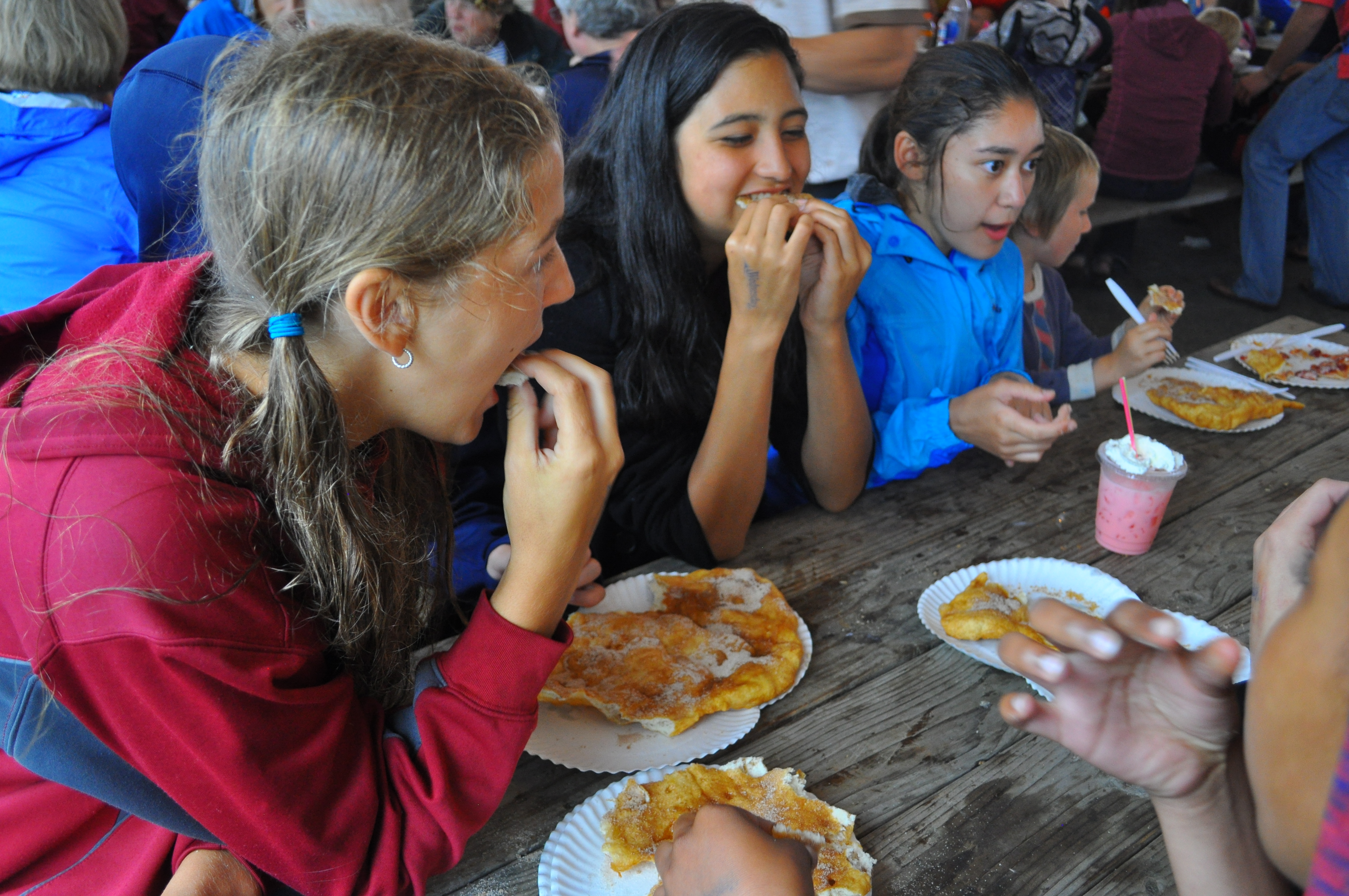
At 4:30pm we were each allocated funds to cover food and rides… It’s off to the San Juan County Fair! Bunny races, livestock, amazing frisbee catching dogs, agricultural products, fire safety, a booth for Spring Street International School (!), a food court full of world flavors as well as homemade pie and elephant ears… Good fun. A favorite is the annual Trashon Fashion show in which islanders of all ages create and model trash-based clothing highlighting the benefits of recycling!

DSC_0141 DSC_0150

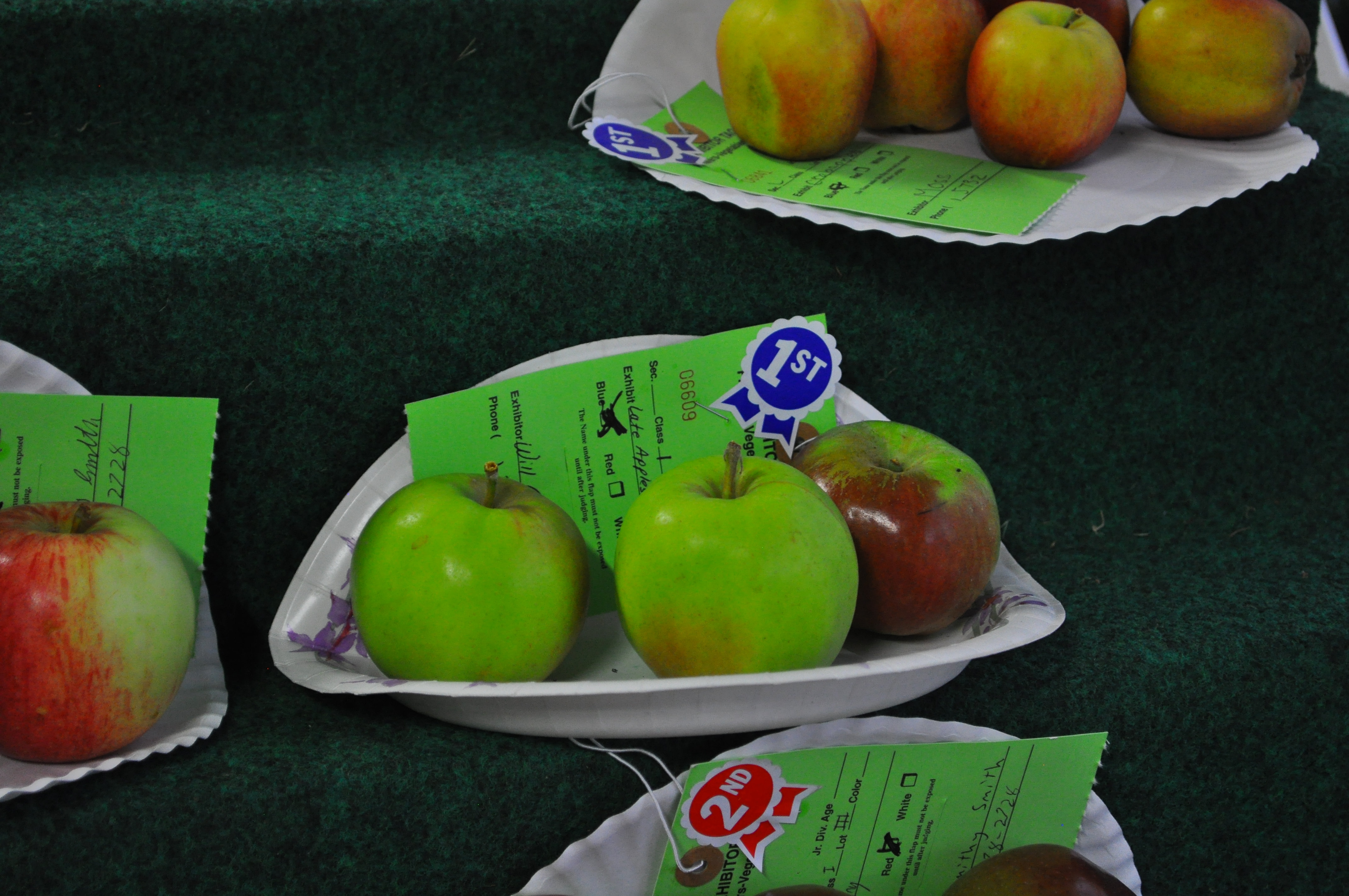
Will’s apples won First Prize!

DSC_0156 DSC_0167

Day 17: Marine Mammal Necropsy and Documentary Development

By: Julie

The day jumped out at us as we ate a quick breakfast then headed over to FH Labs for the necropsy of a baby harbor seal; a necropsy is just like an autopsy, only it is performed on an animal instead of a human. Joe Gaydos, a distinguished veterinarian and Director of the SeaDoc Society, led the operation, with assistance from Patrick Charapata and Eric Eisenhardt (our guests from last night), as well as volunteers from SeaDoc and the Marine Mammal Stranding Network. We had a great view from one of the upper docks at FHL, looking down on the procedure from above.

DSC_0144 DSC_0154

We learned that the harbor seal was grossly malnourished as the necropsy began. The animal also had unusually large lymph nodes suggesting that it was fighting infection before it died. Multiple samples from many parts of the body were removed for testing. The remains were then returned to the ocean in order to maintain the natural order.

DSC_0195 DSC_0199 DSC_0170 DSC_0176 DSC_0210

After the necropsy was over we took some time to explore different parts of FHL, including the Stockroom, the Dive Locker, and various different labs and tanks. We also learned how the water system that supplies the many tanks works.

Later, we returned to the dorm for lunch and a meeting about what is happening in the days to come. Then we chose and edited the best of the many photos that were taken on Monday; working together to decide which would be most useful to our presentation.

DSC_0008 DSC_0028

Dinner prep started around 3:45 and we relocated to Patricia Morse’s house to eat. Patricia is Professor Emerita of Biology at Northeastern University. We were also joined by Professors Megan Dethier and David Duggins.

DSC_0002 DSC_0003 DSC_0026

The day closed with some tide-pooling and beach cleanup at Patricia’s, then stargazing at Mike and Diana Stepita’s (Matt’s parents) house, as we looked for shooting stars of the Perseid meteor shower.

Day 16: Field Data Analysis, Storyboarding, and Contra Dance

By: Julie and Matt

After some breakfast delays we all headed up to the science classroom and analyzed the data we collected on Day 7. We reviewed the protocol used to collect the data then split into two groups to graph it. One graph showed the percent cover of macroalgae for the two transects, as well as the percent cover of sessile animals; the x-axis was height above water and the y-axis was percent cover. The other showed mobile animal count with the x-axis as height above water and the y-axis as number of animal.

Photo on 8-12-13 at 10.21 AM #2

Then we moved back to the common room of the dorm to start storyboarding and researching for the documentary we are going to create. A short lunch was followed by a trip to Lime Kiln State park where we took pictures and short videos for the documentary.

DSC_0004 DSC_0092 DSC_0094

We returned at 3:30 and had dinner at 5 with our two guests, Patrick Charapata of the San Juan County Marine Mammal Stranding Network and Eric Eisenhardt of the Soundwatch Boater Education Program. Dessert was accompanied by a presentation by Patrick on stranded animals.

DSC_0119

Then we zoomed over to English Camp for the Contra Dance that is held there every Monday from 7 to 9 pm. We had a wonderful time learning the simple steps that were then combined in different ways for different dances. By the end everyone was out of breath and laughing and we returned home to get a good night’s sleep.

If you are interested, here is the webpage about Contra Dance at English Camp: Dancing at English Camp

This website is about English Camp itself, a part of the San Juan National Historical Park: English Camp History and Culture

Day 15: Documentary Development and E/V Nautilus

By: Saymirah

Being considerate, Caroline let us sleep in after a late night at the play, which led to a nice brunch of chocolate chip pancakes and eggs with cheese. Afterwards,we had down time to either go to the Art Market or walk around town. When we got back to the dorm, we were surprised to get iPads from the Friday Harbor Laboratories for our documentary on tide pools. Tom gave us an introduction to how to document the photos we took.

DSC_0303


DSC_0304

Dennis Willows joined us for dinner. He is a retired professor of neurobiology as well as a former Friday Harbor Labs Director for over 33 years. He explained how he found his way into biology research and his experiment of testing nudibranchs and other marine animals for their reaction to the earth’s magnetic field.

To end the night, we had a teleconference with Megan Cook, a science writer who was aboard the Exploration Vessel Nautilus. She explained her journey with a team of scientists into the Gulf of Mexico looking for hydrocarbon seeps and brine pools deep down on the ocean floor using remotely operated vehicles.

Day 14: Lime Kiln State Park and Island Stage Left’s Shakespeare Under the Stars

After a leisurely morning of pancake and eggs brunch, as well as moving forward with laundry chores and enjoying the Friday Harbor Farmer’s Market at Brickworks, the crew gathered evening picnic supplies and headed out to a beautiful late afternoon at Lime Kiln State Park.

DSC_0282 DSC_0284

Lime Kiln is noted not only for its history and spectacular beauty, it is the principal viewing spot for orca and other wildlife. At the Lime Kiln Lighthouse, scientists log orca sightings by individual. Each orca has unique saddle patch and dorsal fin markings. In addition, Lime Kiln houses a webcam and hydrophone to help with research affiliated with the Whale Museum and Beam Reach.

Learn more from the Whale Museum website: Whale Museum

Learn about Beam Reach research: Beam Reach

After meeting together to review the longboat voyage and enjoy a picnic dinner at Deadman’s Bay, we all went to see Shakespeare’s “Taming of the Shrew.” Island Stage Left is a professional theater organization on San Juan Island presenting “Shakespeare Under the Stars” every summer.

Here is the Island Stage Left website: Island Stage Left

Day 13: Saddlebag Island to Anacortes and cleanup

By Tim:

After a long row yesterday afternoon, we spent the evening on Saddlebag Island once again. After a quick breakfast of oatmeal, nuts and the last of our snacks, we broke camp, loaded up Discovery and rowed back to Cap Sante Marina in Anacortes. Once there, we completely emptied the boat and washed everything with freshwater; every dry bag, every tarp, every mug, every bowl, every utensil. After the van was loaded, we crewed Discovery one more time through the marina for her haul out at the boat lift. After giving three cheers for Captain John “Sockeye” Calogero for an unforgettable voyage (and for delivering us safely back to land) we boarded the late afternoon ferry back to Friday Harbor. Everyone is now deeply involved in the process of cleaning themselves and their personal gear.

IMG_0704

Day 12: Vendovi Island

This morning Tim called to let us know that the crew would be headed to Vendovi Island today. Vendovi Island is protected by the San Juan Preservation Trust; our large group has been given special dispensation to visit! We’ll look forward to hearing about it later.

The story remains to be told, but we received some pictures! Here they are!

5IMG_0676

Long boat with Mt Baker

Long boat under sail

Long boat Vendovi Long boat Vendovi (2)


DCIM100GOPRO

3IMG_0686 2IMG_0693 DCIM100GOPRO

If you are not familiar, you may be interested to learn that the San Juan archipelago is a unique 743-island chain in the Salish Sea that includes the Canadian Gulf Islands to the north and several off-shore islands along the mainland. The Salish Sea to the south across the Strait of Juan de Fuca includes the Puget Sound. Many islands are made invisible by 14 foot tidal action; in San Juan County there are 172 islands with residents on 50 of them. The four largest islands are served by the Washington State Ferries.


Day 11: Exploring Cypress

Tim reports that after a big breakfast, and with such beautiful weather and such a special spot, the crew spent the better part of the day hiking across and up and down Cypress Island. The crew also spent some time on the subject of navigation, learning about tidal currents and reading charts. The day ended with a spectacular sunset hike up Eagle Cliff.

6IMG_0520  3IMG_0531 2IMG_0656 1IMG_0666

Here is a description of Cypress Island from the Department of Natural Resources website:

“Cypress Island contains unusual geological characteristics, outstanding examples of native biological communities, critical habitat for federally protected species, and significant marine and cultural resources. Cypress Island protects more than 5,100 acres of high quality forest, wetland and grassland communities and surrounding state-owned tidelands, and includes the only protected low-elevation serpentine forest in Washington…. The island offers a scenic reminder of conditions in Western Washington prior to European settlement.  Steep Island topography provides vistas of the San Juan Islands, mainland Washington and the Olympic and Cascade mountain ranges.”

IMG_0525

The Longboat Voyage offers individuals a unique opportunity to practice their skills at team membership and leadership. With this in mind, the crew took time during this mid-voyage day to reflect on their progress with Expedition Behavior. Spring Street International School, and its Summer Program, have adopted the the National Outdoor Leadership School (NOLS) guidelines for Expedition Behavior. We have found that what pertains to the safe and successful ascent of Denali applies equally well to school trips, classroom study, scientific fieldwork, and other endeavors where individual mastery and team membership come together.

5IMG_0521

Day 10: From Cypress Head to Pelican Beach

The day began enveloped in a light fog that soon gave way to bright, warm skies. This day would be one for learning about navigation, tidal currents, rowing and sailing. We’ll learn more when everyone returns to San Juan Island, but the word from Tim is that everyone pulled together and had a good time. The currents encouraged the group to return to Cypress Island in the evening, but this time at the protected north end at Pelican Beach.

Cypress Island is almost entirely protected land under the jurisdiction of the Department of Natural Resources. Please enjoy the Department of Natural Resources (DNR) webpage about Cypress Island. The island is known for its unique geological phenomena, beautiful lakes, and Eagle Cliff: the third highest point among all the islands and from which one can admire the San Juan archipelago as well as the many peaks of the Cascade and Olympic mountain ranges.

AMonCypress


4IMG_0514 3IMG_0173 DCIM100GOPRO 1IMG_0517

cypress

This photo is from the Washington Wildlife and Recreation Coalition; I’ll change it when travelers return with their own photos!

Day 9: From Saddlebag to Cypress Island

Captain “Sockeye” John, Science Director and first mate Tim, second mate and assistant Susan, and a crew of nine wonderful teenagers took advantage of August’s morning fog on Saddleback Island to sleep in for a change, study some plankton collected from the cove and re-pack the boat for a more comfortable voyage in the days ahead. The crew took to Salish Sea waters with the sun.

6IMG_0476 5IMG_0480 4IMG_0489 2IMG_0495 1IMG_0501

In the evening, Tim called in with a short report. A transcription follows:

“Hi! It’s Tim. It’s about 5 to 9pm on Monday and we are just off the water. We had a hard time getting going to day; we had to organize the boat and that took a few hours. It was: “about to leave, about to leave” for a while. Anyway, we are now over at Cypress Head. We came up from Saddleback Island around Guemes Island and came over to the north end of Cypress Island, which is Pelican Beach. Because of the late start, the campground was full so we turned around and headed back south to Cypress Head. It is wind swept, Susan is laughing right now, but we’re getting set for dinner and camping. Everyone is okay. We had a great row for 3 or 4 hours, but it’s time to get to work! Signing off for now!”